Peak Mount Bogong State/Province Victoria Elevation 1,986 m Highest point Mount Bogong | Country Australia Borders on New South Wales Area 5,199 km² Parent range Great Dividing Range | |
 | ||
Length 400 km (250 mi) NE-SW (approx) Width 200 km (120 mi) E-W (approx) Types of rock Igneous rock, Sedimentary rock, Metamorphic rock Mountains Mount Hotham, Mount Bogong, Mount Feathertop, Mount Donna Buang, Mount Buller | ||
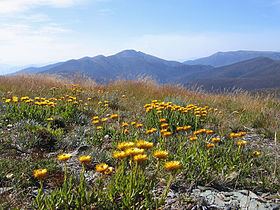
Summit of mt jim victorian alps
The Victorian Alps, an extensive mountain range that forms the southern part of the Australian Alps located in the Australian state of Victoria, is part of the Great Dividing Range, an IBRA sub-bioregion of approximately 519,866 hectares (1,284,620 acres), and an administrative sub-region bordering the Gippsland and Hume regions.
Contents
Location and features
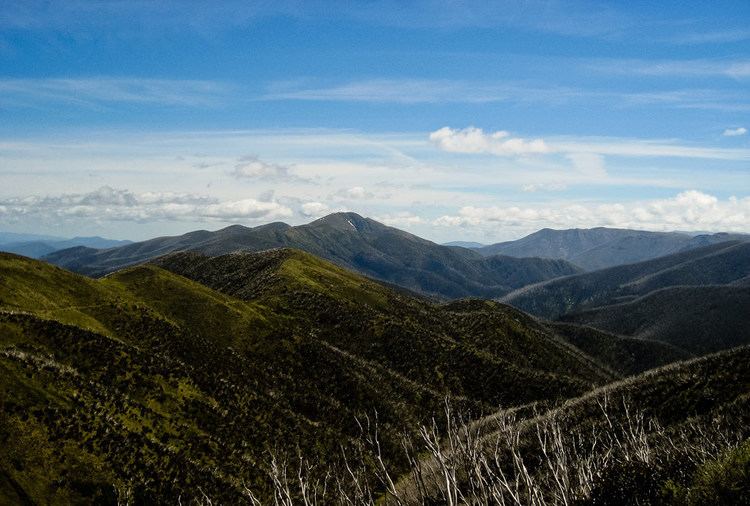
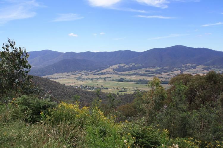
Comprising the Bogong High Plains, Bowen Range, Cathedral Range, Cobberas Range, and numerous other smaller ranges, the Victorian Alps include the Alpine Shire, parts of the East Gippsland Shire, and some parts of the Mansfield Shire local government areas. The alps are sometimes called the High Plains or High Country,
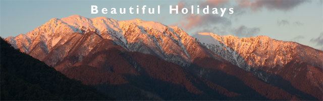
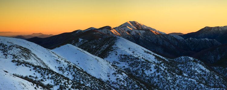
The highest peak in the range is Mount Bogong at an elevation of 1,986 metres (6,516 ft) AHD, which is also the highest peak in Victoria.