Prominence 52 First ascent ancestral | Elevation 2,094 m Easiest route Hiking | |
 | ||
Similar Monte Saccarello, Monte Frontè, Monte Bertrand, Cima Garlenda, Monte Pietravecchia | ||
Monte Tanarello (Italian) or Mont Tanarel (French) is a 2094 metres high mountain located on the French-Italian border.
Contents
Etymology
Tanarello is the diminutive form of Tanaro, the main right-hand tributary of river Po. The river rises between Monte Saccarello and Monte Tanarello as a stream named Tanarello and becomes Tanaro after receiving the waters of another stream called Negrone.
History
The mountain up to World War II was totally belonging to Italy but, following the Paris Peace Treaties, signed on February 1947, is now shared between Italy and France.
Geography
The mountain stands on the main chain of the Alps between Passo Tanarello (2042 m) and Passo Basera (2036 m). Its Italian side belongs to the province of Cuneo, in Piedmont (Tanaro valley), and the French one to Alpes-Maritimes, in the Provence-Alpes-Côte d'Azur (Roya valley).
SOIUSA classification
According to the SOIUSA (International Standardized Mountain Subdivision of the Alps) the mountain can be classified in the following way:
Environment
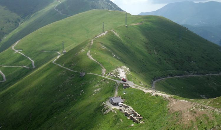
The eastern side of the mountain is gentle and grassy while the western one is a little more rocky and steep.
Access to the summit
The mountain is easily accessible by unmarked traks departing from Passo Tanarello or Passo Basera. The summit can also be accessed by mountain bike or with snowshoes.
