
Prominence 132 First ascent ancestral Easiest route Hiking | Elevation 2,152 m | |
 | ||
Similar Monte Saccarello, Cima Garlenda, Monte Galero, Bric Agnellino, Monte Grammondo | ||
Colle garezzo monte front triora mendatica imperia
Monte Frontè is a mountain in Liguria, northern Italy, part of the Alps. It is located in the province of province of Imperia. It lies at an altitude of 2152 metres. After Monte Saccarello it is the second highest peak in the Ligurian region.
Contents
- Colle garezzo monte front triora mendatica imperia
- Map of Monte FrontC3A8 18010 Triora Province of Imperia Italy
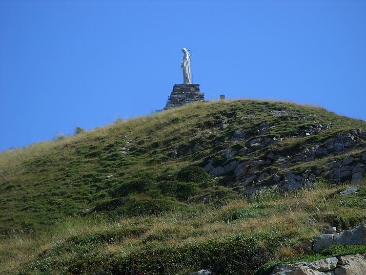
- Via del sale salita al monte front e arrivo alla madonna
- Geography
- SOIUSA classification
- Hiking
- Conservation
- Mountain huts
- References
Map of Monte Front%C3%A8, 18010 Triora, Province of Imperia, Italy
Via del sale salita al monte front e arrivo alla madonna
Geography
Monte Frontè is located on the main chain of the Alps between Tanaro, Arroscia and Argentina valleys, and is divided from the neighbouring Cima Garlenda by Passo Frontè (2088 m).
SOIUSA classification
According to the SOIUSA (International Standardized Mountain Subdivision of the Alps) the mountain can be classified in the following way:
Hiking
The mountain is accessible by mountain tracks starting from the Alta Via dei Monti Liguri, a long-distance trail from Ventimiglia (province of Imperia) to Bolano (province of La Spezia).
Conservation
The southern side of the mountain since 2007 is included in the Parco naturale regionale delle Alpi Liguri.