
Length 59 km | Basin size 660 km (250 sq mi) Mouth elevation 0 | |
 | ||
Discharge Average rate:15 m/s (530 cu ft/s) | ||
The Roya (French), Roia (Italian), or Ròia (Brigasc, Occitan) is a 59-kilometre (37 mi) river of France and Italy.
Map of Roya
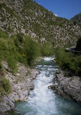
The river rises in French territory near the Col de Tende and flows through the Mercantour National Park The river passes through the communes of Tende, Saorge, Breil-sur-Roya, La Brigue, before entering Italy in the commune of Olivetta San Michele. The remainder of its course remains within the province of Imperia and, after crossing Airole the river enters the sea at Ventimiglia.
Its main tributaries are the Lévensa, the Bévéra, the Bendola, the Réfréi and the Maglia.
References
Roya (river) Wikipedia(Text) CC BY-SA