
Elevation 2,042 m | ||
 | ||
Traversed by former military dirt road Similar Monte Saccarello, Monte Frontè, Monte Bertrand, Fort Central, Col de Tende | ||
Passo Tanarello (in Italian) or Pas du Tanarel (in French) at 2,042 m is a mountain pass in the Ligurian Alps. It connects the valleys of Roya in France and Tanaro in Italy.
Contents
Map of Passo di Tanarello, 06430, Italy
Etymology
Tanarello is the diminutive form of Tanaro, the main right-hand tributary of the River Po.
Geography
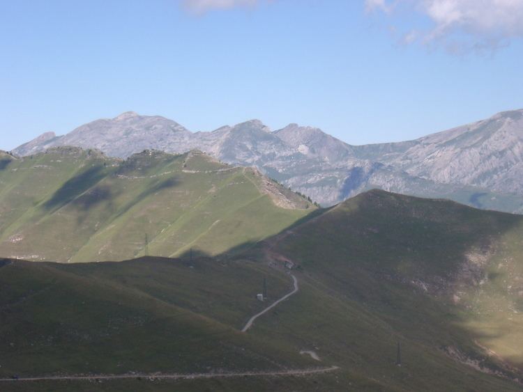
Passo Tanarello is located on the main chain of the Alps between Monte Tanarello and Cima Ventosa. It connects the basins of the Ligurian Sea (south of the pass) and the River Po. Administratively the Italian side belongs to the municipality of Briga Alta and the French side to La Brigue.
Near the pass are located some remains of an old barrack and a small building still used by local farmers.
History
The pass up to World War II was totally in Italian territory but, following the Paris Peace Treaties, signed on February 1947, is now on the border between Italy and France.
Hiking
The pass in easily accessible with a mountain bike by following the old military road. Monte Tanarello can be climbed by unmarked footpaths accessed from the path to the south and Cima Ventosa can be climbed to the north. It can also be accessed in winter with snowshoes.