
 | ||
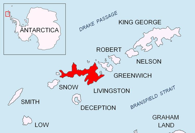
The Gleaner Heights (62°35′S 60°15′W) are a series of elevations extending southwest from Leslie Hill in the eastern part of Livingston Island in the South Shetland Islands, Antarctica. They were named by the UK Antarctic Place-names Committee in 1958 after the American brig Gleaner, which was diverted to sealing in the South Shetland Islands in 1820–21.
Contents
The first ascent was by the Bulgarian Doychin Vasilev from Camp Academia on 25 December 2004, as part of Tangra 2004/05 survey.
Location
The summit of the heights rising to 531 m is located at 62°34′25″S 60°13′59″W which is 5 kilometres (3 mi) north by west of Mount Bowles, 5.05 kilometres (3.14 mi) northwest of Melnik Peak and 1.43 kilometres (0.89 mi) west-southwest of Leslie Hill (British mapping in 1968, and Bulgarian in 2005 and 2009).