
 | ||
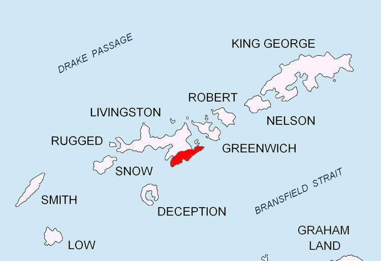
Mesta Peak (Vrah Mesta \'vr&h 'mes-ta) is a conspicuous, sharp and narrow rocky peak extending 500 m in east-west direction and rising to approximately 400 m in Delchev Ridge, Tangra Mountains, eastern Livingston Island in the South Shetland Islands, Antarctica. The peak has steep and ice-free slopes and surmounts the east extremity of Sopot Ice Piedmont to the north.
Contents
The peak is named after the Mesta River in Bulgaria.
Location
The peak is located at 62°37′10.9″S 59°50′04.5″W, which is 1.53 km east-northeast of Kaloyan Nunatak, 1.5 km east of Besapara Hill, 1.05 km northeast of Shabla Knoll and 1.86 km southwest of Renier Point.
Maps
References
Mesta Peak Wikipedia(Text) CC BY-SA