
 | ||
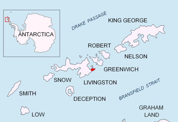
Renier Point (62°36′34″S 59°48′21″W) is a narrow point forming the east extremity of both Burgas Peninsula and Livingston Island in the South Shetland Islands, Antarctica. The feature was known to sealers as Point Renier as early as 1821. The name ‘Pin Point’, given by Discovery Investigations personnel on the Discovery II in 1935, has been rejected in favor of the original name.
Maps
This article incorporates public domain material from the United States Geological Survey document "Renier Point" (content from the Geographic Names Information System).
References
Renier Point Wikipedia(Text) CC BY-SA