
 | ||
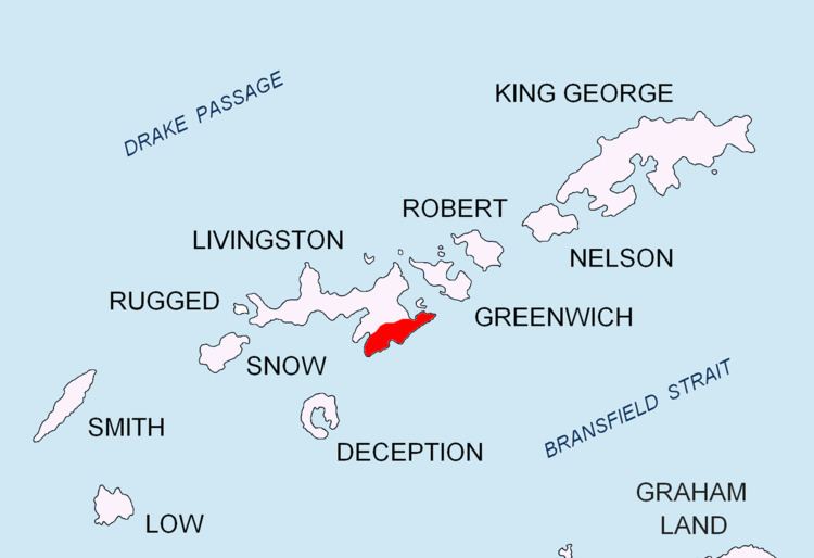
Delchev Ridge (Delchev Hrebet \'del-chev 'hre-bet) is the eastern ridge of the Tangra Mountains, Livingston Island extending 10 km east-northeastward from Devin Saddle to Renier Point. The ridge is named in association with its summit Delchev Peak (ca. 940 m).
Contents
The north slopes of the ridge between Elena Peak and Renier Point together with the adjacent portion of Sopot Ice Piedmont are a popular site for backcountry skiing and climbing, with skiers landed by Zodiac rigid inflatable boats from cruise ships visiting the Half Moon Island area.
Location
The midpoint of Delchev Ridge is located at 62°37′55″S 59°54′15″W. The ridge was mapped by the UK Directorate of Overseas Surveys in 1968, Argentine mapping in 1980 and Bulgarian mapping in 2005 and 2009.
Delchev Ridge in popular culture
The cover of the VA album Under Heaven: Vinson Massif (2010) actually features a photo not of Vinson Massif but of Delchev Ridge instead, with Mugla Passage and Vaptsarov Peak in the foreground, and (left to right) Elena Peak and Delchev Peak in the background. Both the picture and the misidentification may have possibly originated in the ‘Vinson Massif’ entry of the ‘Seven Summits Quest’ website.