
Existed: 1926 – present Length 410.8 km | North end: ND 49 at Thunder Hawk Constructed 1926 | |
 | ||
Counties Bennett County, South Dakota | ||
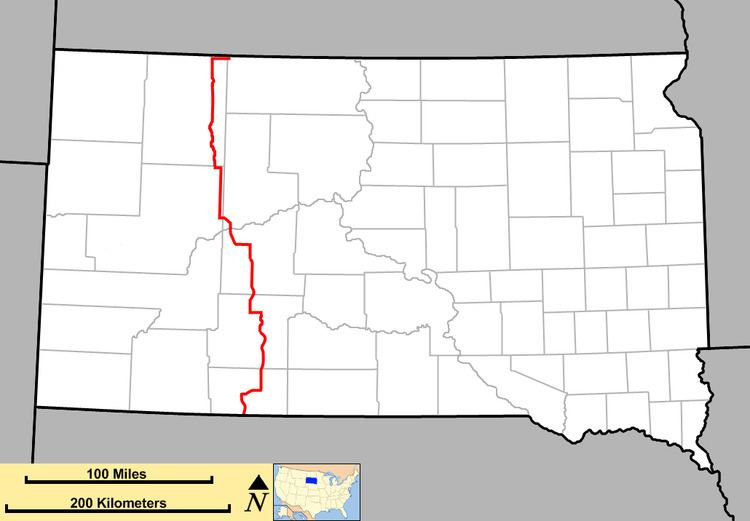
South Dakota Highway 73 (SD 73) is a state route that runs across western South Dakota. It begins at the Nebraska border north of Merriman, Nebraska, as a continuation of Nebraska Highway 61. It runs to the North Dakota border, where it continues as North Dakota Highway 49. It is just more than 255 miles (410 km) in length.
Contents
Map of SD-73, South Dakota, USA
History
When designated in the 1920s, South Dakota 73 only consisted of the segment from Faith (U.S. Route 212) to Lemmon (U.S. Route 12). The remainder of the route was unnumbered.
Around 1935, SD 73 was extended south from Faith, absorbing what had been a portion of South Dakota Highway 24 to near Plainview, then southeast via a new route to Philip. From there, it was concurrent with U.S. Highway 16 to Kadoka then southward along what had been South Dakota Highway 63. It continued south to the Nebraska border south of Martin, after sharing an alignment with U.S. Highway 18. Except for minor route straightening and a new concurrency with Interstate 90, this route has not changed since.
Around 1979, the northern terminus was extended east along U.S. 12 to Thunder Hawk, where it met up with a new road to link with ND 49.