
Vehicle registration JH Elevation 508 m | Time zone IST (UTC+5:30) Lok Sabha constituency Hazaribagh Population 252,032 (2011) | |
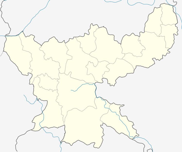 | ||
Mandu (community development block) is an administrative division of Ramgarh district in the Indian state of Jharkhand.
Contents
Geography
Mandu is located at 23°47′39″N 85°28′12″E. It has an average elevation of 508 metres (1,667 ft).
Mandu CD Block covers an area of 109,224.62 acres, out of which 45,086.85 acres is forest area.
Bokaro River passes through Mandu CD Block.
Demographics
As per 2011 Census of India Mandu CD Block had a total population of 252,032, of which 133,757 were rural and 119,275 were urban. There were 131,486 males and 121,546 females. Scheduled Castes numbered 35,015 and Scheduled Tribes numbered 51,483.
Mandu, Taping, Barughutu, Kedla, Ara, Kuju, Topa, Orla, Sanri alias Tilaiya, Bongabar and Seota are census towns in Mandu CD Block.
Literacy
As per 2011 census the total number of literates in Mandu CD Block was 157,513 out of which 92,295 were males and 65,218 were females.
Economy
West Bokaro colliery of Tata Steel at Ghatotand is in the Mandu CD Block. The Kuju area and a part of Charhi area of Central Coalfields Limited are in the Mandu CD Block.