
Country India Vehicle registration JH Elevation 333 m | Time zone IST (UTC+5:30) Lok Sabha constituency Hazaribagh Population 73,040 (2011) | |
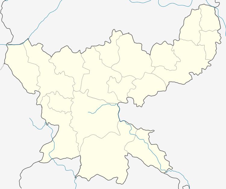 | ||
Ramgarh (community development block) is an administrative division of Ramgarh district in the Indian state of Jharkhand.
Contents
Geography
Ramgarh is located at 23°37′49″N 85°31′09″E. It has an average elevation of 333 metres (1,093 ft).
Ramgarh CD Block covers an area of 72,567.53 acres, out of which 8160.46 acres is forest area.
Damodar River passes through Ramgarh CD Block.
Demographics
As per 2011 Census of India Ramgarh CD Block had a total population of 73,040, of which 47,871 were rural and 25,169 were urban. There were 37,670 males and 35,370 females. Scheduled Castes numbered 9,543 and Scheduled Tribes numbered 15,397.
Sirka and Marar are census towns in Ramgarh CD Block.
Literacy
As per 2011 census the total number of literates in Ramgarh CD Block was 44,211 out of which 25,839 were males and 18,382 were females.
Economy
Parts of the Argada Area of Central Coalfields Limited are part of Ramgarh CD Block.
Projects in the Argada area of Central Coalfields Limited (as in 2015) were: Gidi A Open Cast, Gidi C OC, Gidi Washery, Religara OC & UG, Sirka OC & UG, and Argada UG.