
Vehicle registration JH Elevation 508 m | Time zone IST (UTC+5:30) Coastline 0 kilometres (0 mi) | |
 | ||
Mandu is a census town in Mandu (community development block) of Ramgarh, Jharkhand, India.
Contents
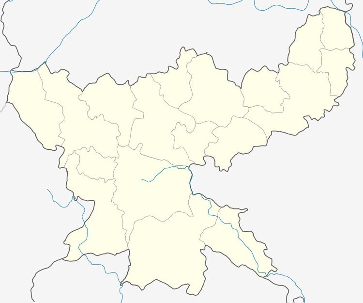
Map of Mandu, Jharkhand
Geography
Mandu is located at 23°47′39″N 85°28′12″E. It has an average elevation of 508 metres (1,667 ft).
National Highway 33 passes through Mandu. Nearest railway station is at Imli tand. Mandu is also surrounded by beautiful hills. Gandhauniya is natural hot water spring which is very popular among local people. Dhoodhi nadi is famous picnic spot for new year celebration. Other sight seeing places like elephant stone, Dear's foot print, Tapin Dam are also very famous here. Jhoda Talab (two ponds) are situated at both sides of NH-33 Highway which is a famous identification mark.
Demographics
As per 2011 Census of India Mandu had a population of 10,223. There were 5,450 males and 4,773 females. Scheduled Castes numbered 1,031 and Scheduled Tribes numbered 1,836.
Literacy
As per 2011 census, the total number of literates in Mandu was 6,383 out of which 3,790 were males and 2,593 were females. Although there is an adequate number of schools like DCA, MKPS, SSVM, High School, MS, DAV AGRASEN, DAV GHATO, DAV TAPIN nearby, the literacy rate is quite low here.