Vehicle registration JH Local time Saturday 8:48 PM | Time zone IST (UTC+5:30) Website ramgarh.nic.in Population 16,054 (2011) | |
 | ||
Weather 22°C, Wind N at 5 km/h, 57% Humidity | ||
Kedla is a census town in Mandu (community development block) of Ramgarh district in the Indian state of Jharkhand.
Contents
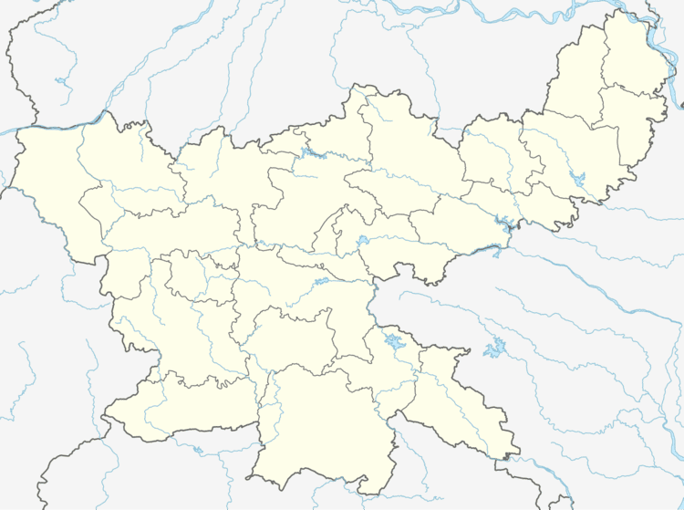
Map of Kedla, Jharkhand 825325
Demographics
As per 2011 Census of India Kedla had a population of 16,054. There were 8,492 males and 7,562 females. Scheduled Castes numbered 1,678 and Scheduled Tribes numbered 3,412.
As of 2001 India census, Kedla had a population of 10,588. Males constitute 65% of the population and females 35%. Kedla has an average literacy rate of 25%, much lower than the national average of 59.5%: male literacy is 32%, and female literacy is 21%. In Kedla, 45% of the population is under 6 years of age.
Kedla is one of the pristine locals in the entire Coal Mining Belt of Central Coal Fields Limited. Kedla is a centre of connectivity for native tribals and migrant workers from all across Bihar, Orissa, Chhattisgarh and West Bengal.
Literacy
As per 2011 census the total number of literates in Kedla was 10,741 out of which 6,314 were males and 4,427 were females,
Economy
Kedla Open Cast Project, Kedla Underground Project and Kedla Coal Washery of Central Coalfields Limited are operational at Kedla.
