
Country United States Area code 936 Population 36,085 (2013) | State Texas Time zone Central (CST) (UTC−6) Elevation 95 m Local time Tuesday 1:41 PM | |
 | ||
ZIP code 75901, 75902, 75903, 75904, 75915 Weather 14°C, Wind N at 5 km/h, 39% Humidity Colleges and Universities Angelina College, Academy of Hair Design | ||
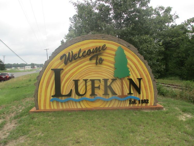
Lufkin texas why visit lufkin travel destination
Lufkin is a city in and the county seat of Angelina County in eastern Texas, United States. This city is 120 miles (190 km) northeast of Houston. Founded in 1882, the population was 35,067 at the 2010 census.
Contents
- Lufkin texas why visit lufkin travel destination
- Map of Lufkin TX USA
- Lufkin texas my home town
- History
- Geography
- Climate
- Demographics
- Economy
- Transportation
- Local government
- Education
- Health care
- Notable people
- Media
- Newspaper
- Television
- AM stations
- FM stations
- Points of interest
- National forests and grasslands
- References
Map of Lufkin, TX, USA
Lufkin is situated in Deep East Texas.
Lufkin texas my home town
History
The city is named for Abraham P. Lufkin, a cotton merchant and Galveston city councilman. Lufkin was the father-in-law of Paul Bremond, president of the Houston, East and West Texas Railway which developed the town.
In 1906 while living in Lufkin, writer Katherine Anne Porter married her first husband John Henry Koontze in a double ring ceremony that also saw her sister Gay Porter marry T.H. Holloway. The minister who presided over the ceremony was Rev. Ira Bryce, serving at the time at Lufkin's First Methodist Church.
In 1907 Allan Shivers the 37th Governor of Texas was born in Lufkin. He served as governor from 1949 to 1957.
Debris from the Space Shuttle Columbia disaster fell over the Lufkin area on February 1, 2003.
Lufkin celebrated its 125th anniversary in October 2007.
Geography
Lufkin is located at 31°20′13″N 94°43′49″W (31.336874, -94.730374).
According to the United States Census Bureau, the city has a total area of 34.5 square miles (89 km2), of which, 34.2 square miles (89 km2) of it is land and 0.3 square miles (0.78 km2) is water.
Lufkin is at the crossroads of East Texas at the intersections of Highways US 59, future Interstate 69, which leads to Houston and the Rio Grande Valley to the south and Nacogdoches and Texarkana to the north, and US 69, which leads from the Golden Triangle of southeast Texas (Port Arthur and Beaumont) to points such as Jacksonville, Tyler, Dallas, and Oklahoma to the north.
Lufkin is 120 miles (190 km) northeast of Houston.
Climate
Demographics
As of the census of 2000, there were 32,709 people, 12,247 households, and 8,364 families residing in the city. The population density was 1,225.1 people per square mile (473.0/km²). There were 13,402 housing units at an average density of 502.0 per square mile (193.8/km²). The racial makeup of the city was 59.92% White, 26.58% African American, 0.26% Native American, 1.37% Asian, 0.01% Pacific Islander, 10.31% from other races, and 1.54% from two or more races. Hispanic or Latino of any race were 17.59% of the population.
There were 12,247 households out of which 32.9% had children under the age of 18 living with them, 49.4% were married couples living together, 14.7% had a female householder with no husband present, and 31.7% were non-families. 27.9% of all households were made up of individuals and 11.9% had someone living alone who was 65 years of age or older. The average household size was 2.58 and the average family size was 3.17.
In the city, the age distribution of the population shows 27.0% under the age of 18, 10.6% from 18 to 24, 27.3% from 25 to 44, 20.1% from 45 to 64, and 15.1% who were 65 years of age or older. The median age was 34 years. For every 100 females there were 88.9 males. For every 100 females age 18 and over, there were 84.5 males.
The median income for a household in the city was $32,989, and the median income for a family was $40,591. Males had a median income of $30,922 versus $20,008 for females. The per capita income for the city was $17,613. About 15.0% of families and 18.8% of the population were below the poverty line, including 26.4% of those under age 18 and 12.6% of those age 65 or over.
Economy
Lufkin is home to Lufkin Industries, which manufactures and services oil field equipment and power transmission equipment, and supplies of creosote-treated utility poles. It is also home to the Atkinson Candy Company, the creator of the Chick-O-Stick, and Brookshire Brothers, a chain of grocery stores in Texas and Louisiana. Lufkin received Texas's first biomass power plant in late 2009. Aspen Power is building the power plant.
Some of the city's major employers include:
According to the City's 2008 Comprehensive Annual Financial Report, the top employers in the city are:
Transportation
Lufkin is served by U.S. Highway 69, U.S. Highway 59, State Highway 94, and State Highway 103.
Lufkin will be served by the extension to Interstate 69 which is planned to run from the Canada–US border at Port Huron, Michigan, to the Texas/Mexico border.
General aviation service is provided by Angelina County Airport.
The Coach USA bus lines serves Lufkin, carried under the Kerville Bus Company.
Brazos Transit District (formerly Brazos Valley Transit Authority) provides regularly scheduled public bus service in the Lufkin area.
The Angelina and Neches River Railroad (A&NR) runs through Lufkin. It has an approximate length of 20 miles (32 km) and connects with the Union Pacific Railroad lines.
Local government
According to the city's most recent Comprehensive Annual Financial Report, the city's various funds had $56.6 million in revenues, $52.8 million in expenditures, $192.2 million in total assets, $66.4 million in total liabilities, and $24.9 million in cash and investments.
Lufkin has a Council-Manager form of government with all legislative and policy responsibilities vested in the City Council and all administrative responsibilities vested in the City Manager. The City Council is composed of the Mayor and Councilmembers representing six wards.
The organization of city departments is:
Education
Almost all of Lufkin is served by the Lufkin Independent School District, with a few small sections in the west within the Hudson Independent School District A very small portion of the town on Highway 69 is within Central ISD. Lufkin also has a small charter school, Pineywoods Community Academy, that serves grades K-12 and is an early college high school. Angelina College and Texas Bible College serve the area. A sizable number of people in Lufkin attend Stephen F. Austin State University in nearby Nacogdoches.
Health care
Lufkin is served by two hospitals, CHI St. Luke's Health Memorial (formerly Memorial Health System of East Texas at Lufkin) which includes the Arthur Temple Sr. Regional Cancer Center and the Woodlands Heights Medical Center.
Notable people
Media
Lufkin currently has a growing number of media.
Newspaper
Television
AM stations
FM stations
Points of interest
National forests and grasslands
The headquarters of all four United States National Forests and two United States National Grasslands in Texas are located in Lufkin. They are the Angelina, Davy Crockett, Sabine, and Sam Houston National Forests and the Caddo and Lyndon B. Johnson National Grasslands.