
Elevation 4,150 m | Prominence 1,051 m | |
 | ||
People also search for Marts Peak, Fukushima Peak | ||
Long gables
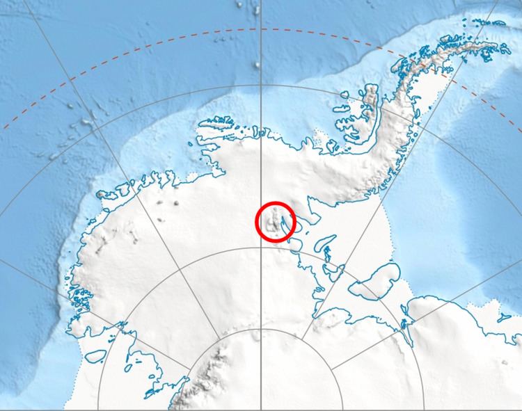
The Long Gables (78°11′S 86°14′W) are prominent twin peaks, with heights of 4,150 and 4,110 metres (13,620 and 13,480 ft), joined by a col, with the lower rock exposures being in the form of steep buttresses. The peaks rise from the main ridge of the Sentinel Range, Ellsworth Mountains, Antarctica between Mount Anderson and Mount Viets. They surmount Burdenis Glacier to the southeast, Gerila Glacier to the east and Fonfon Glacier to the northeast.
Contents
Map of Long Gables, Antarctica
The peaks were discovered by the Marie Byrd Land Traverse party of 1957–58 under C.R. Bentley, and were named for Jack B. Long, a member of the party and a participant in many oversnow traverses and other Antarctic research activities in the following decade.
The south summit of Long Gables ('Peak 4111') was climbed for the first time on January 13, 1996 by the French alpinists Erik Decamp and Catherine Destivelle.