
Elevation 3,600 m | ||
 | ||
People also search for Mount Anderson, Mount Farrell, Mount Tyree | ||
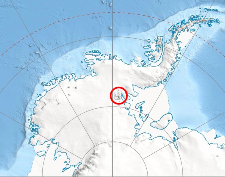
Mount Viets (78°15′13″S 86°06′50″W) is a sharp pyramidal mountain over 3,600 m, standing 1.5 nautical miles (2.8 km) north of Mount Giovinetto in the main ridge of the Sentinel Range, Ellsworth Mountains. It surmounts Delyo Glacier to the east and Burdenis Glacier to the northeast.
Contents
Map of Mount Viets, Antarctica
The mountain was discovered by the Marie Byrd Land Traverse party of 1957–58 under C.R. Bentley. It was named for Ronald L. Viets, a geophysicist at Little America V Station in 1957. It was climbed for the first time on January 11, 1996 by the French alpinists Erik Decamp and Catherine Destivelle.
Maps
References
Mount Viets Wikipedia(Text) CC BY-SA