
 | ||
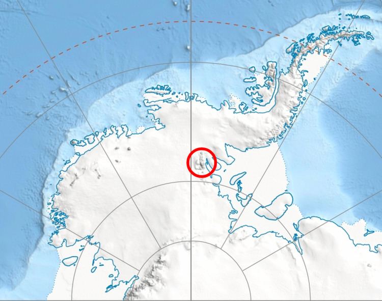
Burdenis Glacier (Bulgarian: ледник Бурденис, ‘Lednik Burdenis’ \'led-nik bur-'de-nis) is the 6 km long and 1.7 km wide glacier on the east side of the main crest of north-central Sentinel Range in Ellsworth Mountains, Antarctica. It is situated north of Delyo Glacier and south of Gerila Glacier. The glacier drains the north slopes of Mount Viets and the southeast slopes of the southern summit of Long Gables Peak, flows northeastwards and together with Delyo Glacier and Gerila Glacier joins upper Ellen Glacier north of Bruguière Peak.
Contents
Map of Burdenis Glacier, Antarctica
The glacier is named after the ancient Roman settlement of Burdenis in Southern Bulgaria.
Location
Burdenis Glacier is centred at 78°14′00″S 86°03′00″W. US mapping in 1961 and 1988.
Maps
References
Burdenis Glacier Wikipedia(Text) CC BY-SA