
Elevation 4,634 m | ||
 | ||
People also search for Wahlstrom Peak, Marts Peak | ||
Fukushima Peak is a high, pointed rocky peak, 4,634 metres (15,203 ft) high, near the south edge of the ice-covered Vinson Plateau in the Sentinel Range of the Ellsworth Mountains, Antarctica.
Contents
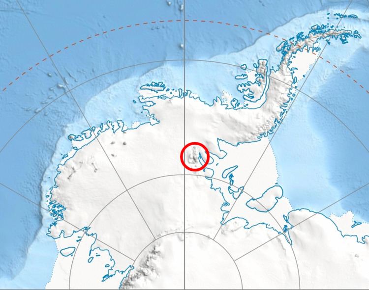
Map of Fukushima Peak, Antarctica
The peak was named by the Advisory Committee on Antarctic Names in 2006 after Eiichi Fukushima, a member of the 1966–67 American Antarctic Mountaineering Expedition that made the first ascent of Mount Vinson, the summit of Antarctica, and other high mountains in the Sentinel Range.
Location
Fukushima Peak is located at 78°33′31″S 85°34′16″W, which is 3.83 kilometres (2.38 mi) south by east of Mount Vinson, 1.54 kilometres (0.96 mi) south by east of Hollister Peak, 1.43 kilometres (0.89 mi) southwest of Wahlstrom Peak, 7.93 kilometres (4.93 mi) northwest of Mount Rutford, 5.07 kilometres (3.15 mi) north by east of Mount Slaughter, 0.99 kilometres (0.62 mi) north by east of Opalchenie Peak and 2.13 kilometres (1.32 mi) southeast of Silverstein Peak. US mapping in 1961, updated in 1988.