
 | ||
People also search for Schoening Peak, Clinch Peak | ||
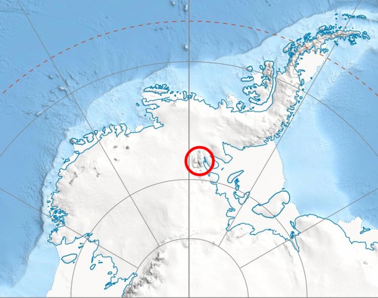
Marts Peak is a 4,551 metres (14,931 ft) high, small and sharp peak at the east edge of the ice-covered Vinson Plateau in the Sentinel Range of the Ellsworth Mountains, Antarctica. It surmounts Dater Glacier to the northeast and Hammer Col to the south.
Contents
Map of Marts Peak, Antarctica
The peak was named by US-ACAN in 2006 after Brian Marts, a member of the 1966–67 American Antarctic Mountaineering Expedition that made the first ascent of Mount Vinson, the summit of Antarctica, and other high mountains in the Sentinel Range.
Location
Marts Peak is located at 78°32′18″S 85°24′07″W, which is 3.1 miles (5.0 km) east-southeast of Mount Vinson, 3.18 miles (5.12 km) northeast of Opalchenie Peak and 3.47 miles (5.58 km) east by north of Silverstein Peak, according to US maps made in 1961 and updated in 1988.