
Local time Thursday 11:08 AM | ||
 | ||
Weather 6°C, Wind NE at 24 km/h, 91% Humidity | ||
Llanelly (Welsh: Llanelli) is the name of both a parish and community in Monmouthshire principal area, within the historic boundaries of Brecknockshire, south-east Wales. It roughly covers the area of the Clydach Gorge. The population of both the civil parish and electoral ward at the 2011 census was 3,899.
Contents
Map of Llanelly, UK
Location
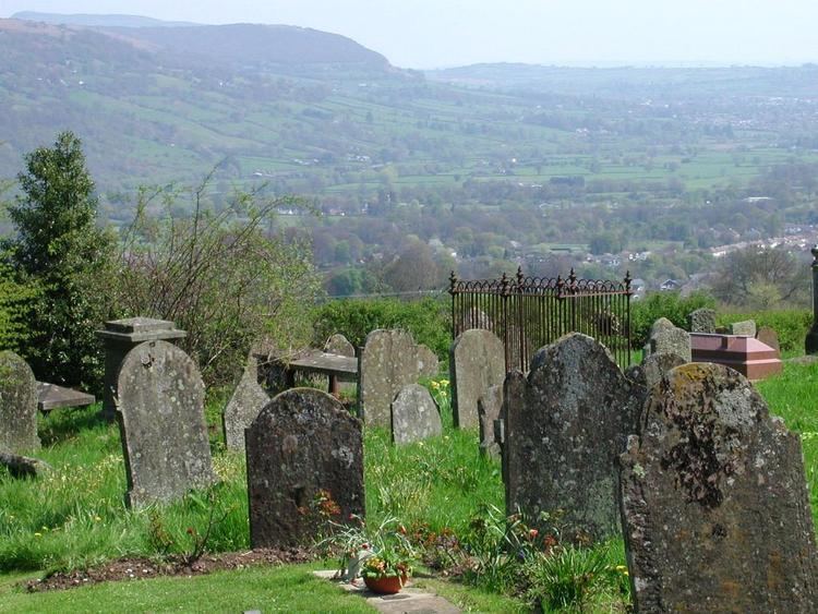
The parish is situated on a hillside above the Clydach Gorge, west of Abergavenny, east of Brynmawr and south of Crickhowell. The church [1] is dedicated to St. Elli.
Settlements
Llanelly Hill, Blackrock, Clydach, Maesygwartha and Gilwern are the main settlements within the parish.
Llannelly Hill occupies the northwest hilltop of the Clydach Gorge. It developed as a result of coal mining and limestone quarrying for the nearby ironwworks including Clydach ironworks and Ebbw Vale ironworks.
Blackrock and Clydach North (also referred to as Cheltenham) both built up along the turnpike road that ran on the north side of the river between Govilon and Merthyr Tydfil.
Clydach South developed on the south side of the river above the ironworks climbing the northwest slopes towards Llanelly Hill.
Gilwern is located at the mouth of the River Clydach where it meets the river Usk.
Maesygwartha lies between Clydach and Gilwern along one of the many tramroads in the gorge.
History
The parish is part of the principal area of Monmouthshire, but before local government reorganisation in 1996, it was in the district of Blaenau Gwent, but the electors overwhelmingly voted to be transferred out.
The Brecon Beacons National Park [2] encompasses the parish and the surrounding area.