
Language spoken Rank | Area 850 km2 | |
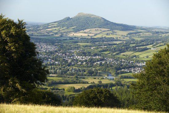 | ||
Map of Monmouthshire
Monmouthshire (Welsh: Sir Fynwy) is a county in south east Wales. The name derives from the historic county of Monmouthshire of which it covers the eastern 60%. The largest town is Abergavenny. Other towns and large villages are Caldicot, Chepstow, Monmouth, Magor and Usk.
Contents
- Map of Monmouthshire
- Monmouthshire business awards finalists videos and finals 2012
- Historic county
- Principal area
- Places of interest
- References
Monmouthshire business awards finalists videos and finals 2012
Historic county
The historic county of Monmouthshire was formed from the Welsh Marches by the Laws in Wales Act 1535 and bordered Gloucestershire to the east, Herefordshire to the northeast, Brecknockshire to the north, and Glamorgan to the west. The Laws in Wales Act 1542 again enumerated the counties of Wales and omitted Monmouthshire, implying that the county was no longer to be treated as part of Wales. However, for all purposes Wales had become part of the Kingdom of England, and the difference had little practical effect. For several centuries, acts of the Parliament of England (in which Wales was represented) often referred to "Wales and Monmouthshire". However, the Local Government Act 1972, which came into effect in April 1974, confirmed the county as part of Wales, with the administrative county of Monmouthshire and its associated lieutenancy being abolished. Most of its area was transferred to a new local government and ceremonial county called Gwent, with the same eastern and southern boundaries as the historic county, the River Wye and the Severn Estuary, while the western two-fifths of the former Monmouthshire are now administered by other Welsh unitary authorities: Blaenau Gwent, Torfaen, Caerphilly, and Newport.
Principal area
The current unitary authority of Monmouthshire was created on 1 April 1996 as a successor to the district of Monmouth along with the Llanelly community from Blaenau Gwent, both of which were districts of Gwent. The use of the name "Monmouthshire" rather than "Monmouth" for the area was controversial, being supported by the MP for Monmouth, Roger Evans, but being opposed by Paul Murphy, MP for Torfaen (inside the historic county of Monmouthshire but being reconstituted as a separate unitary authority). By area it covers some 60% of the historic county, but only 20% of the population. A new council headquarters building at the site of Coleg Gwent, Usk was proposed and developed. Planning permission was granted in September 2011. The new county hall in Usk was opened in 2013.
In comparison to the pre-1974 areas it covers:
Places of interest
Scenic Railway Line: