
Population <2000 Sovereign state United Kingdom Local time Tuesday 7:02 PM | OS grid reference SO225128 Country Wales Postcode district NP7 Dialling code 01873 | |
 | ||
Weather 7°C, Wind S at 19 km/h, 92% Humidity | ||
Clydach is a village in Monmouthshire, Wales. Its nearest neighbours are the village of Gilwern and town of Abergavenny.
Contents
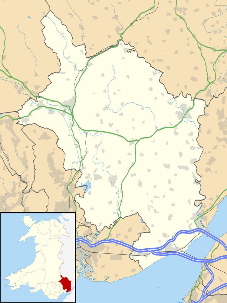
- Map of Clydach Abergavenny UK
- Heads of the Valleys
- Industrial Heritage
- Primary School Closure
- Local Walks
- Notable people
- References
Map of Clydach, Abergavenny, UK
Heads of the Valleys
It is split by the A465 road (the 'Heads of the Valleys') into North Clydach and South Clydach.
Industrial Heritage
Historically its main industry was based around the ironworks on the south side of the valley which have long since closed.
Primary School Closure
Clydach County primary school was closed in July 2006 by Monmouthshire County Council because of there were less than 30 pupils and none in years 5 and 6. The children now attend schools in Gilwern and Brynmawr and the school buildings are unused.
Local Walks
The area around the village is popular for hillwalking with many routes tracing the beauty of the nearby Clydach Gorge [1] or Cwm Clydach, and the old trackbed of the Merthyr, Tredegar and Abergavenny Railway is a cycleway and walkway and the Monmouthshire and Brecon Canal can be walked or travelled by narrow boat.
There is a picnic site and caravan park alongside the River Clydach, easily reached from the A465 Heads of the Valleys road. The ironworks are some 300 metres away, across the river. The ironworks were built during the late 18th century and are a Scheduled Ancient Monument. There are also limeworks.
The area is within the Brecon Beacons National Park close to the Blaenavon Industrial Landscape, a World Heritage Site, and not far from Big Pit National Coal Museum. Clydach Gorge or Cwm Clydach has been designated a SSSI.