
Local time Tuesday 6:23 PM Administrative region Western Greece | Time zone EET (UTC+2) | |
 | ||
Weather 7°C, Wind NE at 5 km/h, 55% Humidity | ||
Lechouri (Greek: Λεχούρι) is a mountain village and a community in the municipal unit of Aroania, Achaea, Greece. In 2011, it had a population of 209 for the village and 288 for the community, which includes the villages Kerasia and Selli. The village is situated at about 1,000 m above sea level, near the mountain Kallifoni, which is part of the Erymanthos range. It is 4 km northeast of Livartzi, 6 km south of Ano Vlasia, 4 km northwest of Kamenianoi and 18 km southwest of Kalavryta.
Contents
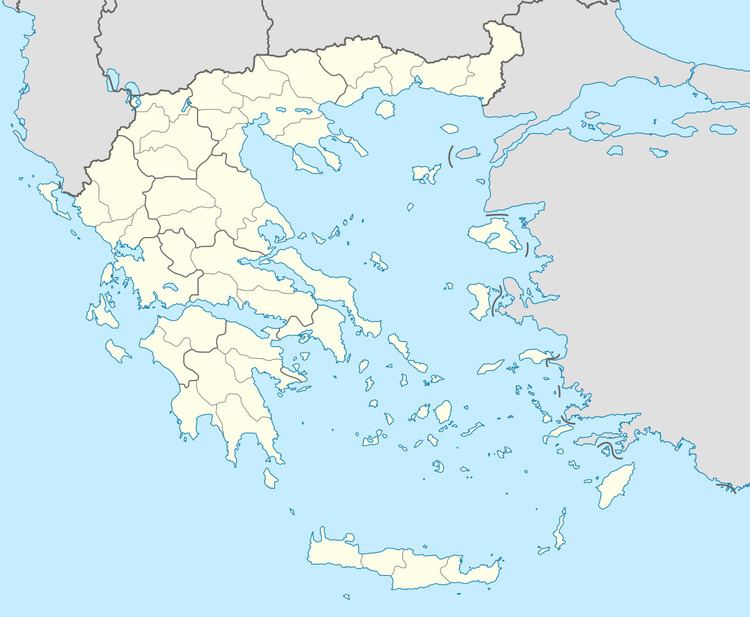
Map of Lechouri 250 16, Greece
History
Historian G. Poretsano has two theories about the origin of the name Lechouri. The first is the Homeric word "ουρέα" which means "mountain peaks" and the second is the Cretan word "λέσκες" which means "ridges".
In the region Roman villas and cemeteries have been found. Lechouri was the crossroads of mountain trails leading to Patras by Vlasia and Chalandritsa. Many fighters in the 1821 Greek War of Independence came from Lechouri. In the village tower Imvraim Arnaoutoglou, the Turkish commander of Kalavryta, was imprisoned after the liberation of the town. This tower, also known as Lechouritis Tower, has been converted into a museum. Another important monument of the past is the small 16th monastery of St George, aiona.To Lechouri now kept alive with rich events Association of Athens and Patras.