Elevation 782 m (2,566 ft) Postal code 250 16 Local time Wednesday 11:46 PM | Districts 11 Time zone EET (UTC+2) Vehicle registration KK | |
 | ||
Weather 6°C, Wind W at 13 km/h, 90% Humidity | ||
Aroania (Greek: Αροάνια) is a village and a former municipality in Achaea, West Greece, Greece. Since the 2011 local government reform it is part of the municipality Kalavryta, of which it is a municipal unit. The municipal unit has an area of 173.804 km2. The population is 1,619 (2011 census). The seat of administration was in the town Psofida. The municipality is named after the village and the mountain.
Contents
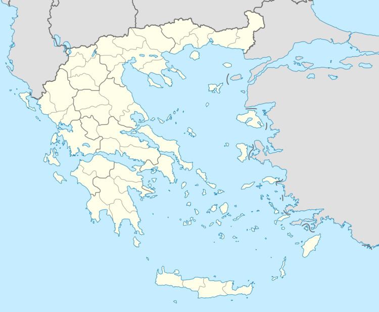
Map of Aroania 250 16, Greece
Subdivisions
The municipal unit Aroania is subdivided into the following communities (constituent villages in brackets):
Notable people
References
Aroania Wikipedia(Text) CC BY-SA
