
Lowest elevation 600 m (2,000 ft) Postal code 250 13 Local time Sunday 4:27 AM | Highest elevation 800 m (2,600 ft) Time zone EET (UTC+2) Vehicle registration AX Area code 27430 | |
 | ||
Weather 9°C, Wind E at 11 km/h, 75% Humidity | ||
4th wild terrain ano vlasia patras 27 29 5 2016
Ano Vlasia (Greek: Άνω Βλασία) is a mountain village in the municipality of Kalavryta, Achaea, Greece. It is situated at about 900 m elevation. near the source of the river Selinountas, east of the highest summit of Mount Erymanthos. It is 1 km south of Kato Vlasia, 6 km north of Lechouri and 18 km west of Kalavryta.
Contents
- 4th wild terrain ano vlasia patras 27 29 5 2016
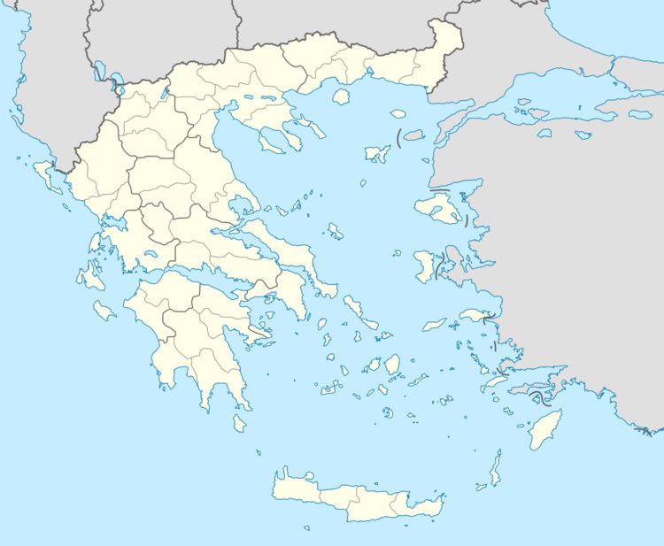
- Map of Ano Vlasia 250 01 Greece
- Ano vlasia taxiarxis
- References
Map of Ano Vlasia 250 01, Greece
Ano vlasia taxiarxis
References
Ano Vlasia Wikipedia(Text) CC BY-SA