
Lowest elevation 800 m (2,600 ft) Postal code 250 16 Local time Saturday 12:12 PM | Highest elevation 940 m (3,080 ft) Time zone EET (UTC+2) Vehicle registration AX | |
 | ||
Weather 10°C, Wind W at 10 km/h, 53% Humidity | ||
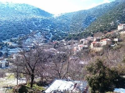
Kamenianoi (Greek: Καμενιάνοι) is a mountain village and a community in the municipal unit of Aroania, Achaea, Greece. In 2011 the population was 85 for the village, and 116 for the community, which includes the village Drovolovo. It is situated in the eastern foothills of Mount Erymanthos. Kamenianoi is 2 km west of Desino, 4 km southeast of Lechouri and 17 km southwest of Kalavryta.
Contents
Map of Kamenianoi 250 16, Greece
History
The name comes from the multitude of furnaces that existed here in the past. According to a myth, Hercules caught the Erymanthian Boar in the area called Kaprivaina.
References
Kamenianoi Wikipedia(Text) CC BY-SA