
 | ||
The Lakes to Locks Passage is a scenic byway in northeastern New York in the United States and in southern Quebec in Canada. The byway unifies the interconnected waterway of the upper Hudson River, Champlain Canal, Lake George, and Lake Champlain; this waterway is the core of North America’s first "super-highway" between upstate New York and the Canadian province of Quebec. The initiatives of the Lakes to Locks Passage aim to unify the byway corridor as a single destination. The US portion of the passage is a New York State Scenic Byway, a National Scenic Byway, and an All-American Road.
Contents
Route description
The byway extends from just north of Albany to the vicinity of the Canada–US border at Rouses Point as a highway and as a waterway. The waterway route continues north into Canada to connect with the St. Lawrence River.
The distinctive influence of French, English and Dutch settlers is still evident today in the communities along the rivers, waterfalls and lakeshore harbors. A series of 32 Waypoint Communities have been designated to "meet and greet" the Lakes to Locks Passage visitor. Community museums and attractions serve as Lakes to Locks Passage Heritage Centers. Nearly every community has a driving, biking or walking tour.
Highway
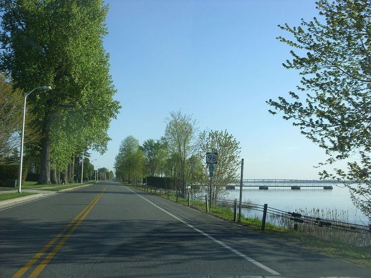
The highway route extends from the junction of U.S. Route 4 (US 4) and New York State Route 32 (NY 32) in Waterford, located 10 miles (16 km) north of Albany, to the intersection of US 11 and NY 9B in Rouses Point, a village adjacent to the Canada–US border.
The route also contains lakeside roads both on Point Au Roche and Cumberland Head, featured as "Scenic Byways."
Waterway
The waterway route extends from the Erie Canal (Mohawk River) at Cohoes, 9 miles (14 km) north of Albany and 1 mile (1.6 km) southwest of Waterford, to the St. Lawrence River at Sorel-Tracy, Quebec, 40 miles (64 km) northeast of Montreal. This waterway was North America's first inter-connected waterway that shaped the nation-building activities of the United States and Canada. It provides access to over 225 miles (362 km) of diverse historic, natural, cultural and recreational sites along the Champlain Canal, upper Hudson River, Lake George, and Lake Champlain in New York, and the Chambly Canal and Richelieu River in Quebec.
History
In 1992 the State of New York designated the Champlain Trail as a New York State Scenic Byway, recognizing the roadway's access to the scenic, historic, cultural, natural and recreational qualities of Lake Champlain and the communities that line its shores. In January 2000, the New York communities in Clinton, Essex and Washington counties that surround Lake Champlain completed a Corridor Management Plan (CMP) for the Champlain Trail as part of a plan for Lake Champlain Byways, a partnership with communities in the State of Vermont. Also in early 2000, communities along the Champlain Canal in New York completed a CMP for the Champlain Canal Byway. In May 2000, the New York State Scenic Byways Advisory Board (NYSSBAB) recognized the strong grass-roots planning process and adopted the two plans. In that the NYSSBAB provides statewide coordination of the NYS Byway program, they passed a resolution to recommend the merger of the Champlain Canal Byway and the Champlain Trail to form one management organization for a single Byway.
The Lakes to Locks Passage was recognized as an All-American Road by the United States Department of Transportation in 2002 for the byway's historic and recreational assets. As an All-American Road, Lakes to Locks Passage is one of a select group of roadways in the country that the Federal Highway Administration promotes as a "premier destination" in their marketing efforts for national and international tourism.
The byway is managed by Lakes to Locks Passage, Inc. a non-profit organization dedicated to building the appreciation, recognition, stewardship and revitalization of the natural, cultural, recreational and historic assets of the communities along the interconnected waterway of the upper Hudson River, Champlain Canal, Lake George, and Lake Champlain.