
Navigation authority Date of first use June 9, 1843 Province Québec Locks 9 | Construction began September 5, 1831 Phone +1 450-658-4381 Date completed 1843 | |
 | ||
Address Avenue Bourgogne, Chambly, Québec J3L 4C3, Canada Similar Fort Chambly, Fort Lennox, Champlain Canal, Carillon Canal, Sainte‑Anne‑de‑Bellevue Canal | ||
Saint jean sur richelieu chambly canal
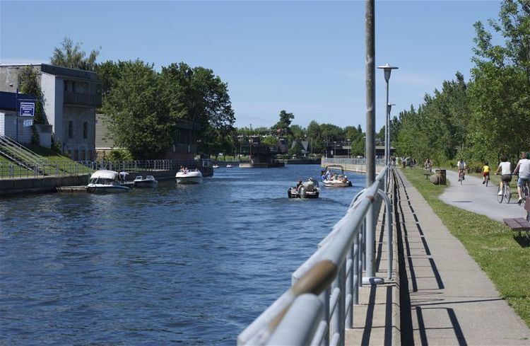
The Chambly Canal is a National Historic Site of Canada in the Province of Quebec, running along the Richelieu River past Saint-Jean-sur-Richelieu, Carignan, and Chambly. Building commenced in 1831 and the canal opened in 1843. It served as a major commercial route during a time of heightened trade between the United States and Canada. Trade dwindled after World War I, and as of the 1970s, traffic has been replaced by recreational vessels.
Contents
It is part of a waterway that connects the Saint Lawrence River with the Hudson River in the United States. Lake Champlain and the Champlain Canal form the U.S. portion of the Lakes to Locks Passage.
The Canal has 10 bridges—8 of which are hand operated—and nine hydraulic locks.
Montreal canada chambly canal and loch system
References
Chambly Canal Wikipedia(Text) CC BY-SA