
 | ||
Kuzman Knoll (Kuzmanova Mogila \'kuz-ma-no-va mo-'gi-la) is a solitary ice-covered knoll rising to 620 m in eastern Livingston Island in the South Shetland Islands, Antarctica. The knoll forms a conspicuous landmark in Wörner Gap area, overlooking Huron Glacier and upper Perunika Glacier. It was named after Kuzman Tuhchiev, participant in the 1993/94 Bulgarian Antarctic campaign and base commander at St. Kliment Ohridski during the 1994-96 seasons.
Contents
The feature is named ‘Tukhchiev Knoll’ by the U.S. and British Antarctic naming committees; "Kuzman Knoll" is the official Bulgarian name, which is established among the Spanish and Bulgarian scientists working in the area.
First ascent by the Bulgarians Kuzman Tuhchiev and Vasil Gurev from St. Kliment Ohridski Base during the 1994/95 season.
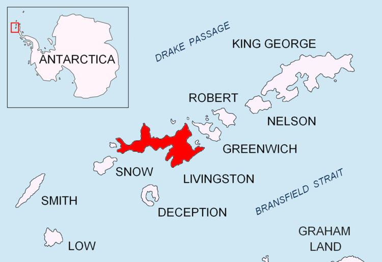
Location
The knoll is located at 62°38′09.8″S 60°09′42.4″W which is 1.1 km north-northeast of Camp Academia site, 1.1 km east of the midpoint of Wörner Gap, 3.68 km east-northeast of the summit of Pliska Ridge, 4.07 km north-northeast of Mount Friesland, 3 km southeast of Mount Bowles and 3.32 km southwest of Atanasoff Nunatak (Bulgarian mapping in 1996, 2005 and 2009, from 1995/96 and 2004/05 topographic surveys respectively).