
Length 92 km | Basin size 482 sq mi (1,250 km) Basin area 1,248 km² | |
 | ||
Cities | ||
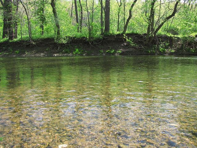
Kokosing river factory rapids 875cfs 4 2 16
The Kokosing River (ko-KO-sing) is a tributary of the Walhonding River, 57.2 miles (92.1 km) long, in east-central Ohio in the United States. Via the Walhonding, Muskingum and Ohio Rivers, it is part of the watershed of the Mississippi River, draining an area of 482 square miles (1248 km²).
Contents
- Kokosing river factory rapids 875cfs 4 2 16
- Map of Kokosing River Newcastle Township OH USA
- Kokosing river columbus monthly
- Variant namesEdit
- References
Map of Kokosing River, Newcastle Township, OH, USA
The Kokosing River rises in Morrow County, northeast of Mount Gilead, and initially flows southwardly. It turns eastwardly near Chesterville and flows through Knox and Coshocton Counties, passing the communities of Mount Vernon, Howard and Gambier. In western Coshocton County the Kokosing joins the Mohican River to form the Walhonding River, about 2 miles (3 km) northwest of Nellie.
Upstream of Mount Vernon, the Kokosing collects its largest tributary, the North Branch Kokosing River, which rises in Morrow County and flows southeastwardly through Knox County, past Fredericktown.
Between Mount Vernon and Howard, the river is roughly paralleled by a rail trail, the Kokosing Gap Trail which continues to the town of Danville.
Kokosing river columbus monthly
Variant namesEdit
According to the Geographic Names Information System, the Kokosing River has also been known historically as: