
Type Highway Route number(s) B52 | Opened 1974 Length 150 km | |
 | ||
Via Bungendore, Braidwood, Nelligen, New South Wales | ||
The Kings Highway is a state highway located within the Australian Capital Territory and New South Wales, Australia. The highway connects Canberra and Batemans Bay on the South Coast.
Contents
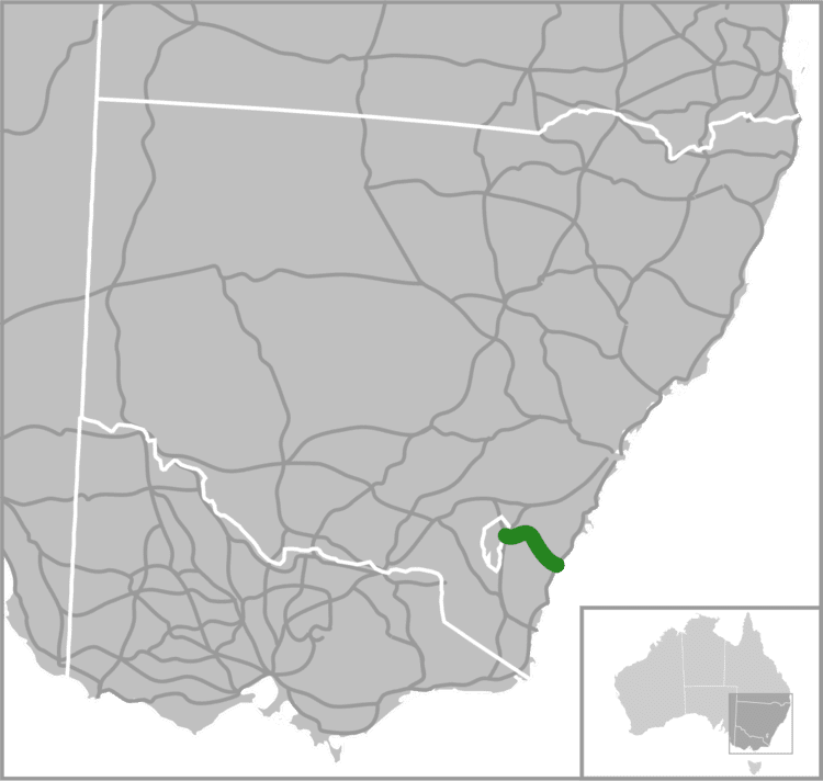
Map of Kings Hwy, Australia
Route
West to east, it starts at the junction with the Monaro Highway on Canberra Avenue in the Australian Capital Territory crossing over the border into New South Wales near Queanbeyan, passing through Queanbeyan itself, Carwoola, briefly crossing back into the Kowen district of ACT and then back into NSW heading south-east to Batemans Bay via Bungendore, Braidwood and Nelligen.
It is signed as route B52. The Roads and Traffic Authority of NSW has come to an informal agreement with councils along the route to sign the entire route as Kings Highway, despite it having no single declared name along its route. The National Route 52 was established in 1974.
The Kings Highway links Highway 1 (known as the Princes Highway) to Canberra, and provides access for residents of Canberra to the NSW South Coast and its beaches. The highway is often busy on weekends, especially during summer. The highway also experiences a high number of car accidents, on occasions averaging around one every three days, costing the local community around the highway several million dollars a year.
The landscape is generally sheep country. The highway travels from the Southern Tablelands to the South Coast via Clyde Mountain.
Notable features and landmarks
A small rock cave at "Pooh Bear's Corner" can be found near the top of the Clyde Mountain pass. This was the location of a munitions store during the Second World War that could be detonated to stop passage from the coast to the national capital inland. Dozens of soft toys are placed in the eucalyptus trees along the stretch of road that connects Queanbeyan and Bungendore. These soft toys were placed there to mark the way to the ACT Nudist Club grounds, following repeated vandalisation and theft of signage.
History
The road through the Clyde Mountain area was surveyed by Thomas Mitchell in 1855.
A punt service across the Clyde River was begun at Nelligen in 1895 linking Batemans Bay to Braidwood. The service continued until 1964 when the Nelligen bridge was completed .
In 2006 construction commenced on Headquarters Joint Operations Command in the Kowen district of the ACT between Bungendore and Queanbeyan. The facility opened in December 2008, and sections of the highway between the HQJOC turnoff and Queanbeyan have progressively been upgraded to cater for the increased traffic.
Road usage
In 2003, approximately 3,000 vehicles a day were using the highway at Nelligen. From Braidwood (at the Shoalhaven River Bridge) there were about 4,200 cars travelling on the road. Out of Bungendore near Burbong, 5,600 cars were counted each day.
Casualty crash rates on the Kings Highway are 85% higher than the NSW average and road fatalities are 8% higher. A 2005 NRMA Motoring and Services road survey found: