
Type Road | Length 8.8 km (5.5 mi) | |
 | ||
East end Campbell StreetFarrer PlaceQueanbeyan, New South Wales | ||
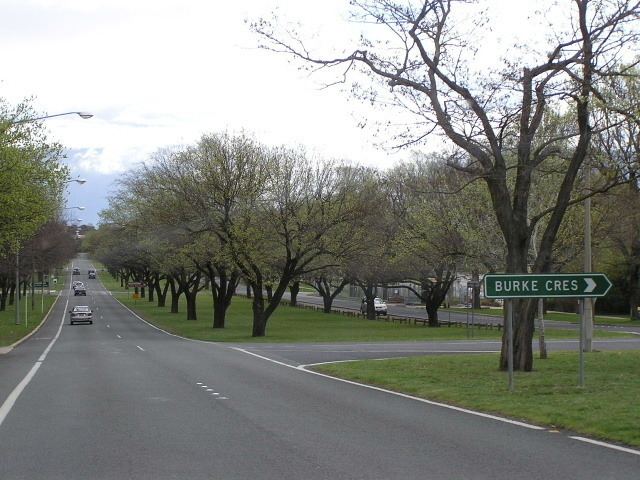
Canberra Avenue is a major road in Canberra, Australian Capital Territory. It is the primary link between the nation's capital and the city of Queanbeyan, New South Wales which lies on the Territory's eastern border. The route also passes historic two historic landmarks; Manuka Oval, opened in 1929 and the Church of Saint Andrew in the suburb of Forrest.
Map of Canberra Ave, Australia
References
Canberra Avenue Wikipedia(Text) CC BY-SA