
Population 1,431 (2011 census) | Postcode(s) 2620 | |
 | ||
Location 239.7 km (149 mi) SW of Sydney9.1 km (6 mi) E of Queanbeyan19.5 km (12 mi) SE of Canberra LGA(s) Queanbeyan-Palerang Regional Council | ||
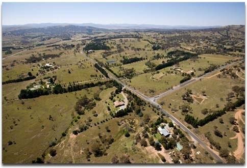
Carwoola is a locality in the state of New South Wales, Australia. It is immediately to the south of the Kowen district, which is located in the Australian Capital Territory. The Molonglo River passes through the Carwoola area before opening out into the Molonglo Plains. The Kings Highway and Captains Flat Road are the two major through routes. Carwoola is part of the Queanbeyan-Palerang Regional Council and the Southern Tablelands geographic area. The area also roughly aligns with the original Carwoola Parish.
Contents
Map of Carwoola NSW 2620, Australia
Community
Carwoola has a Community Hall, managed by the local Community Association and a Rural Fire Brigade of the NSW Rural Fire Service (the Stoney Creek Brigade) as well two public areas in Bowen Street and Molonglo River Drive.
Carwoola Landcare is also an active part of the Molonglo Catchment Group.
History
The first white men to come to the area arrived around 1820, and began to settle along the Molonglo Plains, arriving at the junction of the Molonglo and Queanbeyan Rivers on 8 December 1820. Timothy Beard, a convict who had arrived in the Colony in 1805 and received his pardon in 1817, set up as an innkeeper on 100 acres of land near Campbelltown. In 1828 he "squatted" on the Molonglo River near where Canberra Abattoir is situated today.
The first authorised settler to reside on a large holding in the district was Owen Bowen (1778-1840), a convict who had arrived in the Colony on 2 July 1811, having sailed from Falmouth aboard the ship Providence. Bowen was freed from servitude at the age of 46 and secured a ticket of occupation for one hundred acres at Marlow Plains("Molonglo") in June 1824. Three years later he applied, unsuccessfully, for another grant at "Carrowillah" which was located three miles west of his holdings and eighteen miles from Lake George.
One of Owen Bowen’s neighbours, William Balcombe, was Colonial Treasurer from 1823 until his death in 1829. Balcombe had previously been an official of the East India Company at St Helena, and it was here that he befriended Napoleon Bonaparte during his exile. His friendship with Napoleon was considered so dangerous that he was eventually removed to NSW. On 5 August 1824, Governor Brisbane offered Balcombe a grant of 2,000 acres at Menanglo or Marlet Plains about eighteen miles southwest of Lake George. William Balcombe Snr called his property "The Briars" (after his estate of the same name on St Helena where Napoleon stayed for the first few weeks of his captivity) and built a slab home just below where the present stone cottages stand today. It is believed that William Snr was responsible for introducing two plants to Australia, the Sweet Briar (Rosa Rubiginosa) and the Weeping Willow (Salix Babylonica). The willow grew nearby Napoleon’s grave on St Helena and Balcombe is reported to have taken cuttings from these trees.
John Hosking (1806-1882) was owner of "Foxlow" station, which was named after his wife Martha Foxlow Terry, and settled on the estate around 1835. Hoskinstown is named after John Hosking, although it has undergone several nomenclature changes since its beginning.
Thomas Rutledge bought an estate on the Molonglo Plain in the mid-1800s and called it "Carwoola" from the aboriginal name of land first occupied by Owen Bowen. The aboriginal word was Carrowillah which means "where the water meets the plain".
Bushranging
The bushranger William Westwood, alias Jacky Jacky, was active in the Carwoola area, bailing up a victim at the 11-Mile turnoff in December 1840 after escaping from his convict servitude at the Gidleigh station, six kilometres east of Bungendore.
2017 bushfire
A bush-fire that began on 17 February 2017 destroyed 11 homes in the town and burned out 3,500 hectares (8,600 acres). 45 outbuildings were also destroyed and another 40 damaged.