
West end: Kamariya Junction Length 300 km | ||
 | ||
History: Opened in stages since 1996 | ||
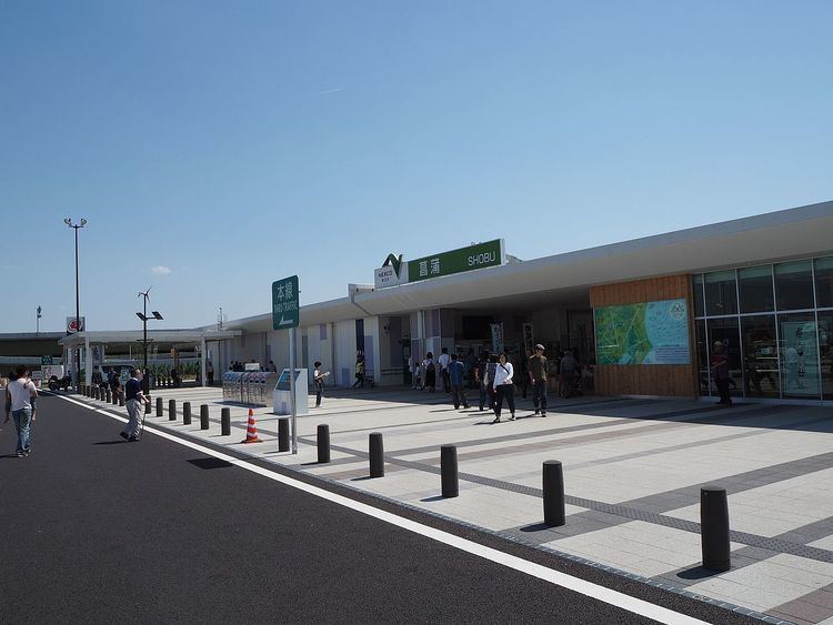
Kanto ken o do atsugi parking area super japanese style
The Ken-O Expressway (圏央道, Ken-Ō Dō), or Metropolitan Inter-City Expressway (首都圏中央連絡自動車道, Shuto-ken Chūō Renraku Jidōsha-dō), is a partially completed ticket system toll expressway in Japan, owned and operated by the Central Nippon Expressway Company and East Nippon Expressway Company. In conjunction with the Tokyo Bay Aqua-Line and the Bayshore Route of the Shuto Expressway, it will form a full outer ring road of Tokyo. It is assigned the national highway Route 468 number.
Contents
- Kanto ken o do atsugi parking area super japanese style
- Map of Japan E9A696E983BDE59C8FE4B8ADE5A4AEE980A3E7B5A1E887AAE58B95E8BB8AE98193E88C85E383B6E5B48EE5A283E58FA4E6B2B3
- Time lapse ken expressway in the mid night kanto region japan
- Route description
- Economic significance
- Exit list
- References
Map of Japan, %E9%A6%96%E9%83%BD%E5%9C%8F%E4%B8%AD%E5%A4%AE%E9%80%A3%E7%B5%A1%E8%87%AA%E5%8B%95%E8%BB%8A%E9%81%93(%E8%8C%85%E3%83%B6%E5%B4%8E~%E5%A2%83%E5%8F%A4%E6%B2%B3)
Portions of the existing Yokohama-Yokosuka Expressway, Shin-Shōnan Bypass and Chiba-Tōgane Road and the planned Yokohama Ring Expressway will be incorporated into the road.
The section owned by the Central Nippon Expressway Company runs from the east end of the Shin-Shōnan Bypass west along the bypass and north to interchange 42. The rest is owned by the East Nippon Expressway Company.
Time lapse ken expressway in the mid night kanto region japan
Route description
The expressway will begin at the south end of the Bayshore Route in Yokohama, where it will head west on the existing branch of the Yokohama-Yokosuka Expressway to that road's main line. At the junction with the main line, the current expressway ends; ramp stubs are present to continue the road west. It will split from the planned Yokohama Ring Expressway and continue west to the east end of the Fujisawa Bypass (part of Route 1). An upgrade of that road will take it to the existing Shin-Shōnan Bypass, an expressway, which it will split from as that road turns toward the south.
The Ken-O Expressway will then head north, crossing the Tōmei Expressway and Chūō Expressway. North of the latter road, the present expressway begins, heading north and northeast to the junction with the Kan-Etsu Expressway. There it will continue east across the Tōhoku Expressway and Jōban Expressway; a short piece from the Joban Expressway east to the next interchange has been opened. It will turn southeast, crossing the Higashi-Kantō Expressway east of Narita Airport, and then run south to the present end of the Chiba-Tōgane Road, a two-lane expressway. Where that road abruptly turns west, the Ken-O Expressway will continue south, looping west to and at the junction of the Tokyo Bay Aqua-Line and Tateyama Expressway.
Economic significance
Along with the Japan National Route 16, the Ken-Ō Expressway will connect the entire length of the Technology Advanced Metropolitan Area (TAMA) — an inland industrial region covering an area of 3000 km2, in 74 municipalities, and home to over 10 million people of whom 4 million work in the TAMA firms. In 1998 goods shipped from TAMA had twice the shipment value of the Silicon Valley.
Exit list
Exits as of June 2015, with the opening of Taiei Junction near Narita Airport.
Sections not yet opened are shown with a red background.
Parking areas are appended with PA, junctions with JCT. There are currently no service areas.