
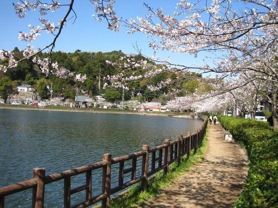
- Tree Rakan Maki Phone number 0475(50)1111 Population 60,748 (1 Dec 2015) | Region Kantō - Flower Yoshino Sakura Area 89.12 km² Local time Tuesday 7:26 AM | |
 | ||
Weather 5°C, Wind NW at 14 km/h, 75% Humidity Points of interest Hiyoshi Shrine, Maruyama Park, Saifukuji | ||
Tōgane (東金市, Tōgane-shi) is a city located in Chiba Prefecture, Japan.
Contents
- Map of Togane Chiba Prefecture Japan
- Geography
- Surrounding Municipalities
- History
- Economy
- Railway
- Highway
- Education
- Sister city relations
- Noted people from Tgane
- References
Map of Togane, Chiba Prefecture, Japan
As of December 1, 2015, the city had an estimated population of 60,748 and a population density of 682 persons per km². The total area was 89.12 square kilometres (34.41 sq mi).
Tōgane is home to the Kurenai-kai School of Japanese embroidery, which produces handmade obi and kimono in the traditional Japanese style.
Geography
Tōgane is located in north-center of Bōsō Peninsula at the border of the Bōsō Hill Range. It is approximately 50 kilometers from downtown Tokyo.
Surrounding Municipalities
Chiba Prefecture
History
Tōgane was founded on April 1, 1889 as part of Sanbe District, Chiba Prefecture. Sanbe District became Sanbu District on April 1, 1897. The town expanded on April 1, 1953 through annexation of the neighboring villages of Okayama, Masaki, Toyonari, Kohei and a portion of the village of Yamato. It was elevated to city status on April 1, 1954 after further expansion through annexation of parts of the neighboring villages of Hara and Fukuoka.
Economy
Tōgane is known for strawberry picking in February and March. Strawberries are grown in greenhouses. Because there is not much industry remaining in some rural areas of Japan like Tōgane, antique markets are gaining popularity as old farmhouses are torn down.