
GNIS feature ID 0766530 Area 172.7 km² Local time Saturday 4:15 PM | Time zone CST (UTC-6) Elevation 266 m Population 676 (2000) | |
 | ||
ZIP codes 65025, 65081, 65237, 65276, 65348, 65354 Weather 1°C, Wind N at 10 km/h, 75% Humidity | ||
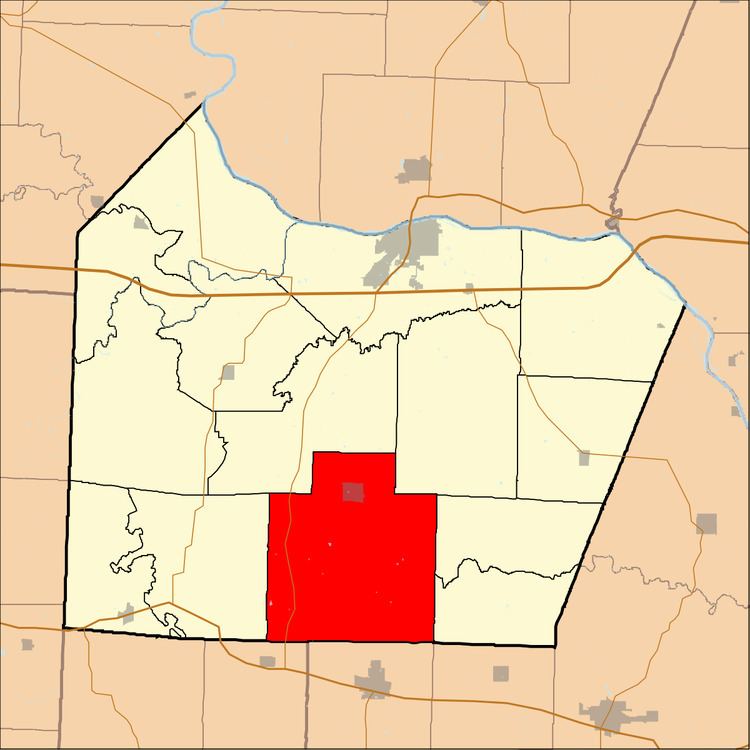
Kelly Township is one of fourteen townships in Cooper County, Missouri, USA. As of the 2000 census, its population was 676.
Contents
- Map of Kelly Township MO USA
- Geography
- Cities towns villages
- Extinct towns
- Adjacent townships
- Cemeteries
- Major highways
- School districts
- Political districts
- References
Map of Kelly Township, MO, USA
Kelly Township was named after John Kelley, a pioneer citizen.
Geography
According to the United States Census Bureau, Kelly Township covers an area of 66.69 square miles (172.74 square kilometers); of this, 66.61 square miles (172.53 square kilometers, 99.88 percent) is land and 0.08 square miles (0.21 square kilometers, 0.12 percent) is water.
Cities, towns, villages
Extinct towns
(These towns are listed as "historical" by the USGS.)
Adjacent townships
Cemeteries
The township contains these five cemeteries: Chilton, Hopewell, Howard, Masonic and Woods.
Major highways
School districts
Political districts
References
Kelly Township, Cooper County, Missouri Wikipedia(Text) CC BY-SA