
ZIP codes 65233, 65237, 65276 Elevation 227 m Local time Tuesday 3:53 AM | Time zone CST (UTC-6) GNIS feature ID 0766535 Area 116.5 km² Population 367 (2000) | |
 | ||
Weather 11°C, Wind NE at 8 km/h, 73% Humidity | ||
Palestine Township is one of fourteen townships in Cooper County, Missouri, USA. As of the 2000 census, its population was 367.
Contents
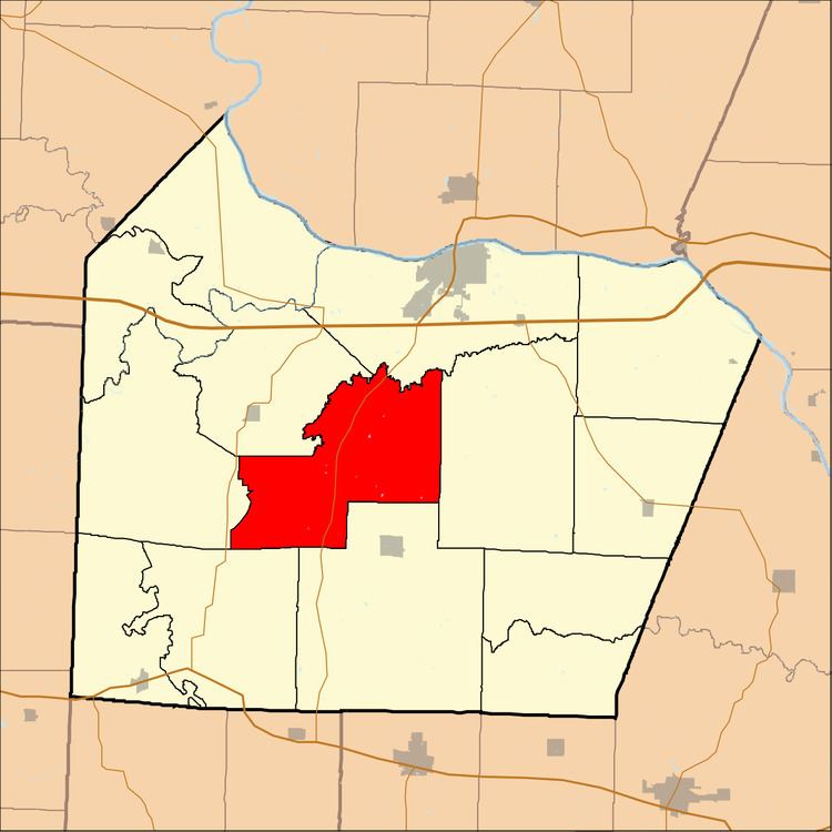
- Map of Palestine Township MO USA
- Geography
- Unincorporated towns
- Adjacent townships
- Cemeteries
- Major highways
- School districts
- Political districts
- References
Map of Palestine Township, MO, USA
Geography
According to the United States Census Bureau, Palestine Township covers an area of 44.97 square miles (116.48 square kilometers); of this, 44.92 square miles (116.34 square kilometers, 99.88 percent) is land and 0.06 square miles (0.15 square kilometers, 0.13 percent) is water.
Unincorporated towns
(This list is based on USGS data and may include former settlements.)
Adjacent townships
Cemeteries
The township contains these three cemeteries: Briscoe, Concord and Concord.
Major highways
School districts
Political districts
References
Palestine Township, Cooper County, Missouri Wikipedia(Text) CC BY-SA