
ZIP codes 65068, 65233, 65237 Elevation 210 m Local time Monday 8:59 AM | Time zone CST (UTC-6) GNIS feature ID 0766528 Area 136.3 km² Population 598 (2000) | |
 | ||
Weather 16°C, Wind S at 24 km/h, 77% Humidity | ||
Clark Fork Township is one of fourteen townships in Cooper County, Missouri, USA. As of the 2000 census, its population was 598.
Contents
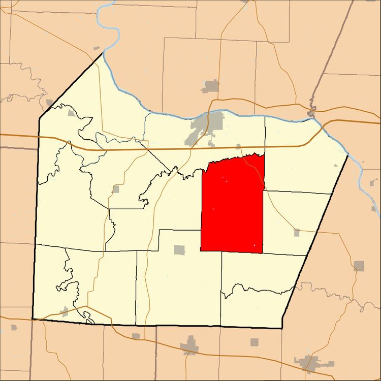
- Map of Clark Fork Township MO USA
- Geography
- Unincorporated towns
- Adjacent townships
- Cemeteries
- Major highways
- School districts
- Political districts
- References
Map of Clark Fork Township, MO, USA
Clark Fork Township was named after the creek of the same name within its borders.
Geography
According to the United States Census Bureau, Clark Fork Township covers an area of 52.64 square miles (136.32 square kilometers); of this, 52.6 square miles (136.24 square kilometers, 99.94 percent) is land and 0.03 square miles (0.08 square kilometers, 0.06 percent) is water.
Unincorporated towns
Adjacent townships
Cemeteries
The township contains these two cemeteries: McCullough and Toler.
Major highways
School districts
Political districts
References
Clark Fork Township, Cooper County, Missouri Wikipedia(Text) CC BY-SA