
ZIP codes 65018, 65025 Elevation 254 m Local time Monday 9:54 PM | Time zone CST (UTC-6) GNIS feature ID 0766539 Area 58.04 km² Population 194 (2000) | |
 | ||
Weather 11°C, Wind NW at 8 km/h, 91% Humidity | ||
South Moniteau Township is one of fourteen townships in Cooper County, Missouri, USA. As of the 2000 census, its population was 194.
Contents
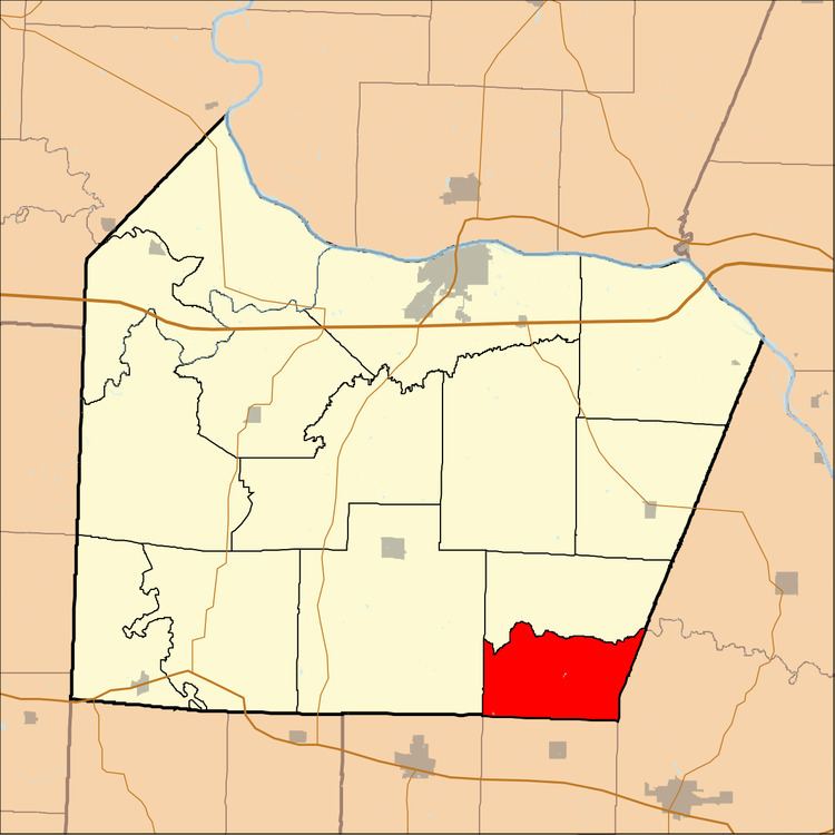
- Map of South Moniteau Township MO USA
- Geography
- Adjacent townships
- Cemeteries
- School districts
- Political districts
- References
Map of South Moniteau Township, MO, USA
Geography
According to the United States Census Bureau, South Moniteau Township covers an area of 22.41 square miles (58.04 square kilometers); of this, 22.39 square miles (57.98 square kilometers, 99.9 percent) is land and 0.02 square miles (0.06 square kilometers, 0.1 percent) is water.
Adjacent townships
Cemeteries
The township contains these cemeteries: Renshaw and Smiley,
School districts
Political districts
References
South Moniteau Township, Cooper County, Missouri Wikipedia(Text) CC BY-SA