
Time zone IST (UTC+5:30) Elevation 348 m Local time Friday 4:24 PM | Demonym(s) 920 PIN 487221 Population 45,000 (2011) Area code 07793 | |
 | ||
Weather 31°C, Wind W at 21 km/h, 27% Humidity | ||
Kareli is a town and a Nagar Palika in Narsinghpur District in the Indian state of Madhya Pradesh. Before the construction of the Bina-Katni branch of the Indian Midland Railway, the metaled road from Saugor crossing the Nerbudda at Barmhan brought the bulk of the produce of the Sagar District to Kareli station. A mail cart ran from Kareli to Sagar, a distance of 122 km (76 mi). The trade of Kareli has now considerably declined, but it is still the exporting station for the southern parts of the Rehli tahsil of Sagar and the north of Narsinghpur. A cotton-ginning factory, the property of Raja Gokul Das, was opened in 1904.This still is a nearest rail station and market for important towns of Sagar Districts.
Contents
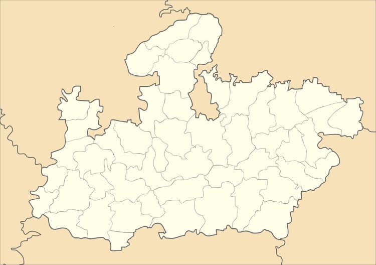
- Map of Kareli Madhya Pradesh 487221
- Local administration
- Local governance
- Civil administration
- Law and order
- Judiciary
- Geography
- Demographics
- Agriculture
- Crops
- Industry
- Climate
- Bramhan Ghat
- Fort of Chauragharh
- Airways
- Roadways
- Railways
- References
Map of Kareli, Madhya Pradesh 487221
Local administration
Kareli was formerly a municipality but its municipal constitution was abolished in 1897, and the provisions of the Village Sanitation Act were introduced.
Local governance
There are 15 wards in Kareli municipality and the Nagar Palika Adhyaksha (Mayor) is the chief of the municipality.
Civil administration
There are Sub-Divisional Magistrate and Tehsildar office.
Law and order
Kareli Police Station/ Thana with the office of the Deputy Superintendent of Police (DSP). In addition, nearest Railway police Chowky of Railway Protection Force is at Kareli.
Judiciary
There is an office of the Civil Judge.
Geography
Kareli is located at 22.9336171°N 79.0622162°E / 22.9336171; 79.0622162. It has an average elevation of 348 metres (1,142 ft).
Main villages: Dilheri, Umariya, Amgoan, Mohad, Amhenta, Jowa, bhugwara, pipariya, Khiriya etc.
Demographics
Kareli is a Municipality city in district of Narsimhapur, Madhya Pradesh. The Kareli city is divided into 15 wards for which elections are held every 5 years. The Kareli Municipality has population of 29,929 of which 15,592 are males while 14,337 are females as per report released by Census India 2011.
Population of Children with age of 0-6 is 3415 which is 11.41 % of total population of Kareli (M). In Kareli Municipality, Female Sex Ratio is of 920 against state average of 931. Moreover Child Sex Ratio in Kareli is around 873 compared to Madhya Pradesh state average of 918. Literacy rate of Kareli city is 86.28 % higher than state average of 69.32 %. In Kareli, Male literacy is around 90.60 % while female literacy rate is 81.62 %.
Kareli Municipality has total administration over 6,490 houses to which it supplies basic amenities like water and sewerage. It is also authorize to build roads within Municipality limits and impose taxes on properties coming under its jurisdiction.
Population rose of Kareli is a Municipality city is 18,791 in 1991, 25043 in 2001 and 29,929 in 2011.
The sub district is home to about 1.6 lakh people, among them about 83 thousand (52%) are male and about 77 thousand (48%) are female. 72% of the whole population are from general caste, 15% are from schedule caste and 13% are schedule tribes. Child (aged under 6 years) population of Kareli tahsil is 13%, among them 52% are boys and 48% are girls. There are about 37 thousand households in the sub district and an average 4 persons live in every family. The majority of the population, nearly 76% (about 1.2 lakh) live in Kareli Sub District rural part and 24% (about 38 thousand) population live in the Kareli Sub District urban part.
Agriculture
Kareli is biggest Gur Mandi (Market of JAGGERY) of India. Sugar industry has seen a significant progress in the last decade. It is also well known for its fertile land. The black soil is suited for any kind of cultivation and there are adequate irrigation facilities. It is famous for its rich agricultural production. It is situated in the upper part of Narmada Valley, which is of much important for agriculture. The production of grains is more than the local requirement. For agriculture both old and new techniques are equally in practice. For old equipment, there are ploughs, bullock carts, bakhar, hnasiya, and various types of knives and khurpi. In new methods or techniques, there are: thrashers, tractors, harvesters, electric pumps and sprinklers. Along with these better quality seeds and the best quality pesticides are used.
Crops
Mainly crops are cultivated in two seasons, Rabi and Kharif. This is based on the climate and the conditions prevails in the district by the time.
During Rabi, crops are cultivated in October–November, with cutting in April/May. The major Rabi crops are wheat, pulses, peas, alsi and masoor.
During Kharif, the farming period is June–July with cutting in October. The major Kharif crops are: paddy, jowar, bajra, makka, kondo and kutki.
The major commercial crops are soybeans and sugarcane, which is produced in large quantity and a major source of income. Soybean is used for oil extraction, and sugarcane for sugar and gur.
Industry
Being an agricultural land, large industries are rare in the area. Also most of the industrial institutions are agricultural-oriented.
gur/sugar from sugarcane: In many places, gur has been prepared from sugarcane all over the district.
Daal Mills: Tuwar (arhar) pulses are prepared here.
Oil Mills: There are many oilmills where Soyabean, Groundnut are extracted.
Other industries include cement pipes, paper mills, plastic and rubber, leather goods, earthen utensils and pots. Poultry farms, goat farming, and fish farming.
Climate
The climate is generally pleasant except in summer. Waves move slowly except during the south-west monsoon. The usual minimum temperature rests around 25–26 degrees Celsius (77–79 °F), and the maximum temperature rises up to 40–45 °C (104–113 °F). May is the hottest month of the year. It is very excessively hot during summer, and in the end of this season dust storms come. When the monsoon arrives, the hygrometer mercury goes very low. The 90% rainfall is observed during monsoon months only; i.e., June to September. The average rainfall is of 60 days per year, and measures approximately 40 inches (1,016 mm). During December–January it is cold, and the average temperature during day time is around 9 °C (48 °F) and 3.2 °C (38 °F) at night. Sometimes cold waves also occur, and heavy fog is also observed.
Bramhan Ghat
Barman is situated at NH 44 (Srinagar-Kanyakumari Highway) and 12 kilometres (7 mi) away from Kareli railway station, and the bank of river Narmada. Lord Brahma's Yagya Shala, Deepeshwar Temple, Rani Durgawati Temple, Elephant Gate and Varahas Statue are places of tourist interest there. The Narmada River flows in seven strains. It flows on the occasions of Makar Sankranti to Basant Panchami. Mela has been arranged in which District Administration also takes part. Also organized are different stalls of the district Govt. Depot. This exhibition has the display of the Agriculture Depot, co-operative, education, and health. Different beneficial schemes information and achievement have shown throes which people get benefit out of this exhibition, and also avail the district out of 20% on different sale items.
Fort of Chauragharh
The fort is 30 km (19 mi) from Kareli railway station. The station of a very ancient time, now only remains this fort which was built by Genha dynasty's King, Gond, Sangram Shah in the 15th century. One Narsinghpur district near Barheta village Nonia is also a place having archaeological importance. Here six big statues are then inside parkota, which is known as Pandav, math/ statue.
Airways
Nearest Airport is Dumna Airport (Jabalpur Airport), Jabalpur (117 km) and Raja Bhoj Airport, Bhopal (220 km).
Roadways
Kareli is located on the NH 44 North-South Corridor (Srinagar-Kanyakumari) and MP-SH 22 (Sandalpur–Hoshangabad-Piparia-Narsinghpur–Jabalpur-Dindori) The buses from & to Jabalpur, Bhopal, Indore, Chhindwara, Narsinghpur, Gadarwara, Sagar, Pipariya, Hoshangabad are available.
Railways
Kareli has very well connectivity with the rail network of India, located between Mumbai-Allahabad-Kolkata Rail Route, Many trains running between Mumbai, Jabalpur, Allahabad has stoppage at Kareli Railway Station.
Kareli railway station is under the Jabalpur railway division of West Central Railway zone. In 1869–71, brothers, Ladhha Bharmal Chawda & Ramji Bharmal Chawda of Chandiya were the Main Contractors for Great Indian Peninsula Railway; who built 153 miles long railway track from Itarsi to Jabalpur. The station of Kareli along with Bagra Tawa, Sohagpur, Pipariya, Gadarwara were also built by them. With completion of this line in 7 March 1870, the Great Indian Peninsula Railway got connected with East Indian Railway network with Jubbulpore (Jabalpur) as the Junction.
Kareli has very well connected by Indian Railways, with the facility of daily running trains for New Delhi (capital of India), Mumbai, Kolkata, Bhopal (capital of Madhya pradesh), Indore, Jabalpur, Itarsi, Gwalior, Allahabad, Varanasi, Patna and several other places of india. The nearest junction is Itarsi (145 km), one of the biggest junction in India and several trains are passing from this station (Itarsi) while going from North to south or east to west and another nearest is junction Jabalpur (100 km) which is also the zonal office of the west central rail zone.