
Length 14.5 km | ||
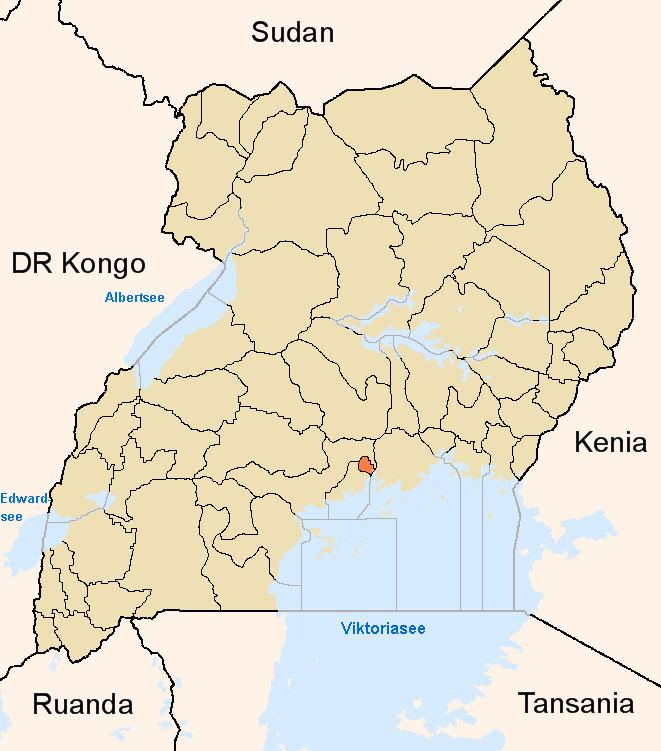 | ||
The Kampala–Gayaza Road is a road in the Central Region of Uganda, connecting the capital city of Kampala to the town of Gayaza in the Wakiso District. The road is part of the 44 kilometres (27 mi) Kampala–Gayaza–Ziroobwe Road Project.
Contents
Map of Gayaza -Kampala Rd, Kampala, Uganda
Location
The road starts at the roundabout on the Kampala-Bombo Road, 2 miles (3.2 km) from downtown Kampala. It continues through the Kaleerwe neighborhood, where it crosses the Kampala Northern Bypass Highway. It continues in a northeasterly direction through Kanyanya, Mpererwe, Luteete, Wampeewo, and Kasangati to end at Gayaza, about 14 kilometres (8.7 mi) from its beginning.
Overview
The improvement to class II bitumen standard with shoulders, drainage channels, and culverts was commissioned in 2008.
Points of interest
The following additional points of interest lie along or near the road: