
Time zone EAT (UTC+3) | ||
 | ||
Hotels Palm Gardens and Guest House, Hotel Catherine, Ornate kids resort | ||
Kaleerwe is a neighborhood within Kampala, Uganda's capital and largest city. Kaleerwe is a busy road-side marketplace, beyond which is a residential slum. Due to its relative low altitude, compared to the surrounding hills, and its proximity to a wetland, the area is prone to flooding. Kaleerwe merges with its immediate slum-neighborhood to the southwest, Bwaise. One may argue that Kaleerwe is part of Bwaise.
Contents
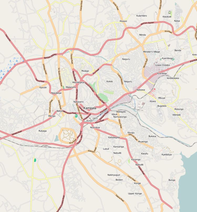
Map of Kalerwe, Kampala, Uganda
Location
Kaleerwe is bordered by Kawempe to the north, Kyebando to the east, Makerere to the south, Bwaise to the southwest and Kazo to the west. It sandwiched between the Kampala-Masindi Highway to the west, the Kampala-Gayaza Highway to the east, the Kampala Northern Bypass Highway to the south. This location lies approximately 6 kilometres (3.7 mi), by road, north of Kampala's central business district. The coordinates of Kaleerwe are:0°21'07.0"N, 32°34'19.0"E (Latitude:0.351950; Longitude:32.571950).