
Region Central Uganda Local time Monday 5:02 PM | ||
 | ||
Weather 27°C, Wind S at 5 km/h, 61% Humidity | ||
Operation heal africa bombo uganda
Bombo is a town in Luweero District in the Central Region of Uganda.
Contents
- Operation heal africa bombo uganda
- Map of Bombo Uganda
- Location
- Overview
- Bombo District now defunct
- Population
- Points of interest
- References
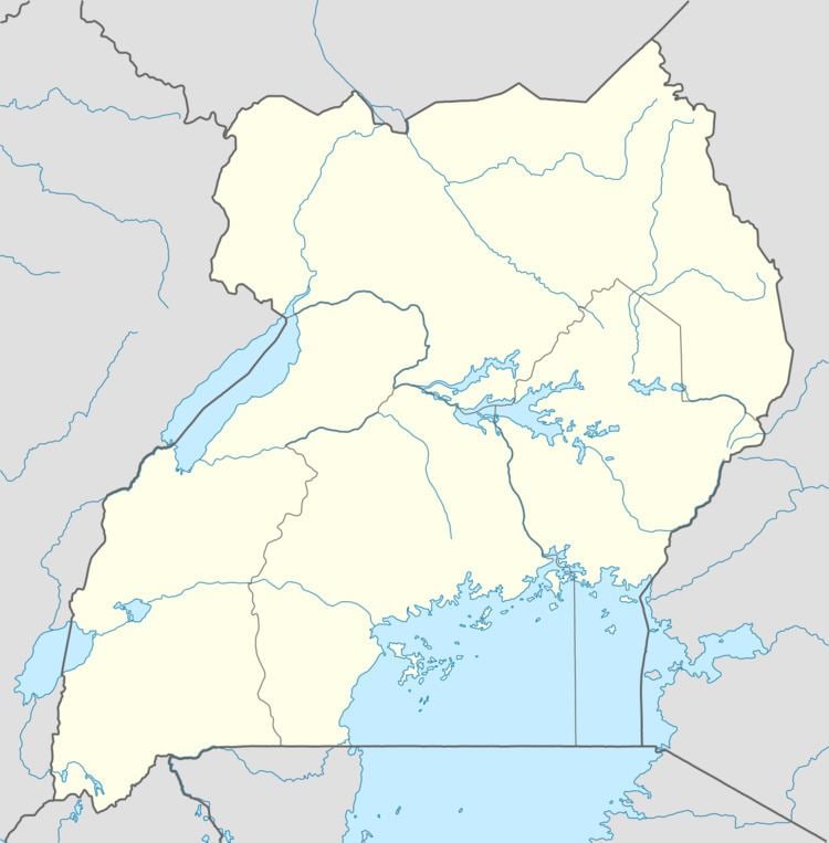
Map of Bombo, Uganda
Location
Bombo is located approximately 32 kilometres (19.883878151594 mi), by road, north of Uganda's capital, Kampala. The coordinates of Bombo are:0°34'36.0"N, 32°32'42.0"E (Latitude:0.576667; Longitude:32.545000).
Overview
Bombo is one of three town councils in Luweero District, the other two being Luweero and Wobulenzi. All three municipalities are located on the Kampala - Masindi highway, that continues to Gulu and Arua in Northern Uganda. The town has a large Nubian minority, the Nubians having settled there when they came from Sudan to serve in the British Colonial army. Bombo remains the location of an army barracks, and was the headquarters of the Ugandan Ministry of Defense until December 2007, when they were moved to Mbuya, in Nakawa Division in southeastern Kampala. Bombo, however, remains the headquarters of the Uganda Land Forces
Bombo District (now defunct)
Ugandan districts are often named after main municipal centres. The area in which Bombo town is a main township became Bombo District, one of the first regions that initially received district status when Uganda became independent in October 1962. In 1967 the district was renamed East Mengo. In 1974, Uganda reorganized from districts into provinces, and East Mengo became the Province of Bombo. Provinces were reorganized into districts in 1980, and the district of Luwero was created, with Bombo town as one of the main town councils.
Population
In 2002, the national census estimated the population the town to be 16,699. In 2010, the Uganda Bureau of Statistics (UBOS), estimated the population of Bombo at 20,500. In 2011, UBOS estimated the mid-year population of Bombo at 21,000. In August 2014, the national population census put Bombo's population at 26,370.
Points of interest
The following points of interest lie within Bombo or near the town limits:
Nubian Cultural Information Centre, an NGO located at 21 miles