
Area 1,906.7 km2 Capital | Region Central Uganda | |
 | ||
Colleges and Universities Nkumba University, African Bible University (Uganda) | ||
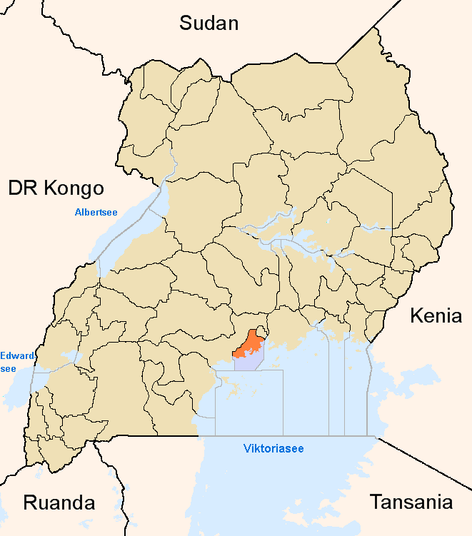
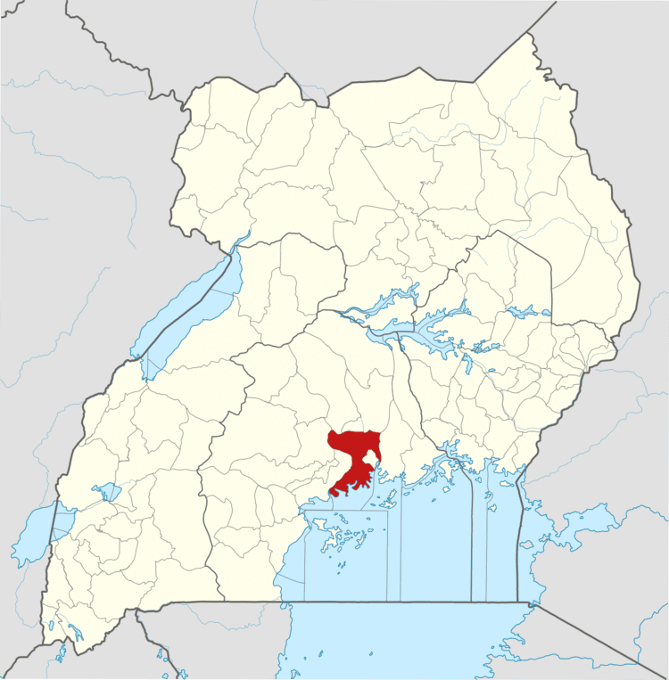
Map of Wakiso District
Wakiso District is a district in the Central Region of Uganda that partly encircles Kampala, Uganda's capital city. The town of Wakiso is the site of the district headquarters.
Contents
- Map of Wakiso District
- Caterpillars ravage crops in wakiso district
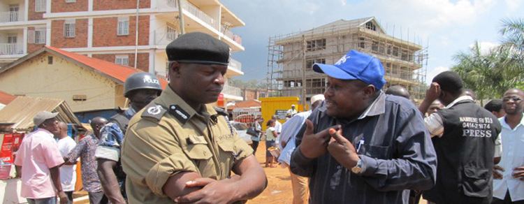
- Wakiso district chairman arrests chinese nationals for sand mining
- Location
- Demographics
- Administrative Units
- District Leadership
- Tourist attractions
- Lake Victoria
- References
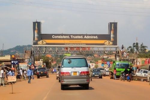
Kira, the country's second largest city and suburb of Kampala, is in the district.
Caterpillars ravage crops in wakiso district
Wakiso district chairman arrests chinese nationals for sand mining
Location
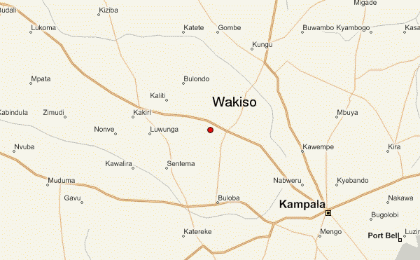
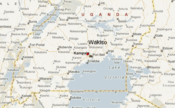
Wakiso District lies in the Central Region of the country, bordering with Nakaseke District and Luweero District to the north, Mukono District to the east, Kalangala District in Lake Victoria to the south, Mpigi District to the southwest and Mityana District to the northwest. Wakiso, where the district headquarters are located, lies approximately 20 kilometres (12 mi), by road, northwest of Kampala, the capital of Uganda and the largest city in the country. The Coordinates of the district are:00 24N, 32 29E.
Demographics
In 1991, the national population census estimated the district population at about 562,900. According to the 2002 national census figures, Wakiso District had a population of approximately 957,300, making it the second-most populated district in the country. At that time, 53 percent of the population were children below the age of 18 years and 17 percent of the population were orphans. The district is rapidly becoming urbanized, with the main economic activities turning away from agriculture to trade and industry.
Administrative Units
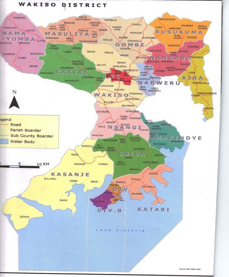
Wakiso District is made up of two counties and a municipality: (a) Kyaddondo County, (b) Busiro County and (c) Entebbe Municipality. The district is further subdivided into the following administrative units:
The district headquarters are located in Wakiso Town, approximately 20 kilometres (12 mi) northwest of Kampala on the highway to Hoima. Wakiso District has a total area of 2,704 square kilometres (1,044 sq mi).
District Leadership
The leadership is entrusted in the District Executive Council, composed of:
Tourist attractions
The tourist attractions in the district include:
Lake Victoria
Lake Victoria is the largest lake in Africa and the second largest fresh-water lake in the world. The lake is a prime spot for leisure activities. Water sports available on the lake include: (a) Sport Fishing (b) Water Rafting (c) Canoeing (d) Cruising and (e) Sailing.