Constituency Kyaddondo North Local time Friday 11:19 PM | County Kyaddondo Elevation 1,180 m | |
 | ||
Weather 19°C, Wind S at 6 km/h, 91% Humidity | ||
Kasangati is a town in Wakiso District in the Central Region of Uganda.
Contents
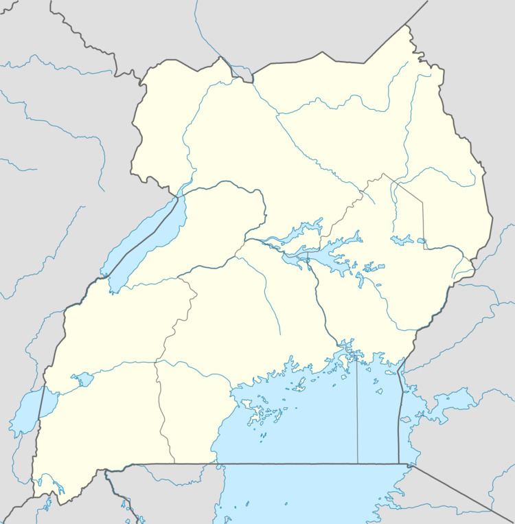
Map of Kasangati, Uganda
Location
Kasangati is 16.5 kilometres (10.3 mi) north of Kampala on the Kampala–Gayaza Road. This town is immediately south of the slightly smaller area of Gayaza along the Kampala–Gayaza Road. The coordinates of Kasangati are 0°26'16.0"N, 32°36'09.0"E (Latitude:0.437778; Longitude:32.602500).
Overview
The Fields of Life Academy, the Kide Day and Boarding Primary School, and Grace High School can be accessed from this town.
Points of interest
The town has several additional points of interest, including:
References
Kasangati Wikipedia(Text) CC BY-SA
