
Elevation 1,200 m | Time zone EAT (UTC+3) | |
 | ||
Restaurants Mummy's Restaurant, N&sons takeaway, Faith Jireh Gardens and Restaurant Agency, Muko Restaurant | ||
Slice of life uganda kanyanya roadside
Kanyanya is a neighborhood within the city of Kampala, Uganda's capital.
Contents
- Slice of life uganda kanyanya roadside
- Map of Kanyanya Kampala Uganda
- Location
- Overview
- Points of interest
- References
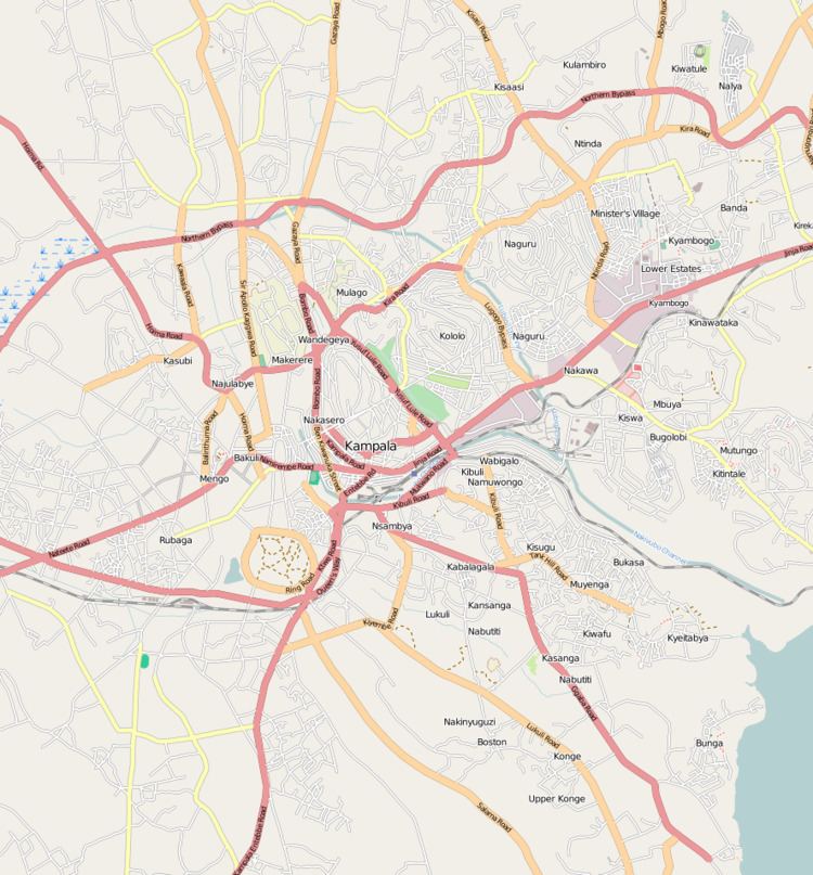
Map of Kanyanya, Kampala, Uganda
Location
Kanyanya is bordered by Wakiso District to the north, Mpererwe to the east, Kaleerwe to the south, and Kawempe to the west. This is approximately 8 kilometres (5.0 mi), by road, north of Kampala's central business district. The coordinates of Kanyanya are 0°22'25.0"N, 32°34'38.0"E (Latitude:0.373620; Longitude:32.577223).
Overview
Kanyanya is predominantly a middle-class residential area. Small business establishments, such as petrol stations, restaurants and bars, appear at major intersections and along Kampala–Gayaza Road.
Points of interest
The following points of interest lie within or near Kanyanya:
References
Kanyanya Wikipedia(Text) CC BY-SA