
Length 40 km | ||
 | ||
Districts | ||
Double lane kalyani expressway sodepur muraghacha to birati nimta car dash cam 1080p 60fps
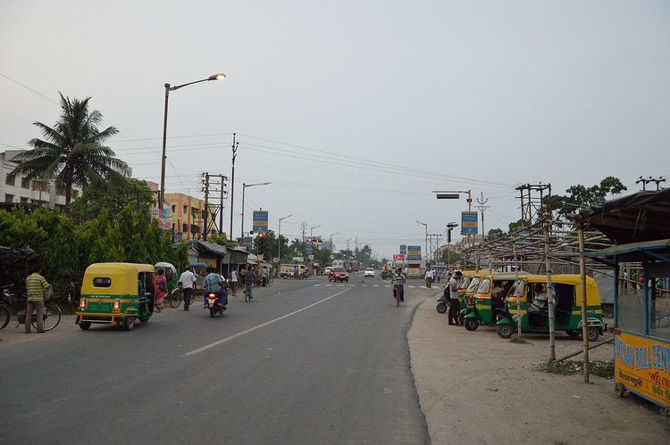
Kalyani Expressway is a 40-kilometre-long (25 mi), two-laned, tolled road which connects Kolkata with its satellite town, Kalyani in Nadia district. The road starts from Nimta in the North 24 Parganas district, in the suburbs of Kolkata, and ends in Kalyani. The road is maintained and controlled by Kolkata Metropolitan Development Authority (KMDA). It has been planned to convert the two lane road into a four lane road by the KMDA.
Contents
- Double lane kalyani expressway sodepur muraghacha to birati nimta car dash cam 1080p 60fps
- Map of Kalyani Expy Kolkata West Bengal
- Kalyani expressway birati to madhyamgram sodepur crossing road condition
- Importance
- References
Map of Kalyani Expy, Kolkata, West Bengal
Kalyani expressway birati to madhyamgram sodepur crossing road condition
Importance
The road acts as a bypass avoiding the congested roads along the towns and cities, like Sodepur, Barrackpore, Naihati, which developed along the Hooghly River. The road has significantly brought down the communication time between the cities from two hours to one hour. The road has important connecting feeder roads with Sodepur, Barrackpore, Naihati, Barasat, Madhyamgram, Kankinara, Khardaha and Kanchrapara, apart from roads which connects other small towns and localities on the way. The road has intersection with State Highway 1 and State Highway 2 and connects with National Highway 34 at different places. An extension of Kalyani Expressway connects the State Highway 6 near Bansberia through Ishwar Gupta Setu over the Bhagirathi River (The Ganges).