
Country | ||
 | ||
Languages spoken | ||
Map of Khardaha
Khardaha, also called Khardah or Kharda, is a city and municipality of Barrackpore subdivision in the Indian state of West Bengal. It is a part of the area covered by Kolkata Metropolitan Development Authority.
Contents
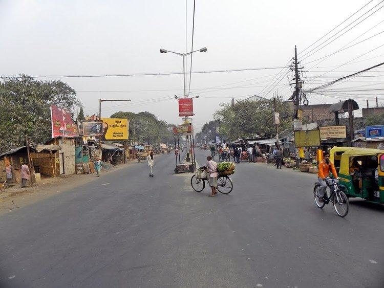
My trip to khardaha west bengal
Geography
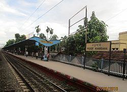
Khardaha is located at 22.72°N 88.38°E / 22.72; 88.38. It has an average elevation of 15 m (49 ft). It is a railway station on the Sealdah-Ranaghat section, sandwiched between Sodepur (to the south) and Titagarh (to the north). The railway station divides the city into two parts - the eastern part is known as Rahara, while the western part is known as Khardaha.
Demographics
As of 2001 India census, Khardaha had a population of 108,496. Males constitute 53% of the population and females 47%. Khardaha has an average literacy rate of 95.50%, higher than the national average of 74.04%: male literacy is 96.20%, and female literacy is 92.50%. In Khardaha, 6.78% of the population is under 6 years of age.