
Country Bangladesh Time zone BST (UTC+6) | ||
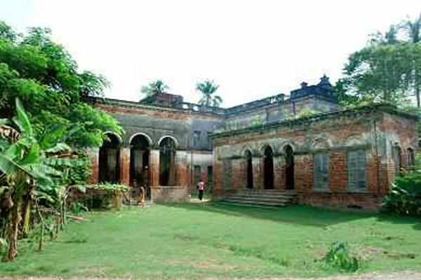 | ||
University Government K.C. College Jhenaidah | ||
Introduction of jhenaidah district
Jhenaidah (Bengali: ঝিনাইদহ) is a district in southwestern Bangladesh. It is a part of the Khulna Division. It is an area 1964.77 km². It is bordered by the Kushtia District to the north, to the south by Jessore District and West Bengal (India), to the east by Rajbari District and Magura District and to the west by Chuadanga District and West Bengal (India) on the west.
Contents
- Introduction of jhenaidah district
- Map of Jhenaidah District Bangladesh
- Jhenaidah district video part 04
- Geography
- Demographics
- Administration
- Subdivisions
- Education
- Religion
- Notable residents
- References
Map of Jhenaidah District, Bangladesh
Jhenaidah district video part 04
Geography
Annual average temperature: maximum 37.1 °C, minimum 11.2 °C; annual rainfall 1467 mm
Demographics
Jhenaidah district has 1,771,304 people as of 2011. Density of the population is 901.5 inh./km² [2011] – Change: +1.14%/year [2001 → 2011]
Administration
Administrator of Zila Porishod: Advocate Abdul Wahed Zoarder [1]
Deputy Commissioner (DC): Md. Mahbub Alam Talukdar [2]
Mayor of Municipality: Saidul Karim Mintu [3]
Subdivisions
There are six upazilas under this district:
- Jhenaidah Sadar Upazila
- Maheshpur Upazila (www.maheshpur.info)
- Kaliganj Upazila
- Kotchandpur Upazila
- Shailkupa Upazila
- Harinakunda Upazila
Education
Religion
The district is predominately Muslim, 89.6%. The next largest religion is Hinduism with 10.3%.